Design-Bibliothek
Neue Merch Designs
T-Shirts
Vektoren
Trendige Merch Designs
PNGs & SVGs
Mockups
T-Shirt PSD-Vorlagen
Entdecken Sie Designs
KDP Designs
Posters
Becher
Handytaschen
Tragetaschen
Kopfkissen
Design-Tools
Merch Designer
Neu!
Mockup Generator
Ki-Design-Generator
Vektorisierer
Quote Generator
T-Shirt Maker (alt)
Hilfe
Merch Digest
Blog
Hilfezentrum
Über Merch erfahren
Feedback
Unternehmenslösungen
Unternehmen
API-Zugriff
Designstudio
Massendesign-Produktion
Preise
Loading...
Registrieren
Einloggen
PNGs For Merch
land
Design-Bibliothek
Neue Merch Designs
T-Shirts
Vektoren
Trendige Merch Designs
PNGs & SVGs
Mockups
T-Shirt PSD-Vorlagen
Entdecken Sie Designs
KDP Designs
Posters
Becher
Handytaschen
Tragetaschen
Kopfkissen
Design-Tools
Merch Designer
Neu!
Mockup Generator
Ki-Design-Generator
Vektorisierer
Quote Generator
T-Shirt Maker (alt)
Hilfe
Merch Digest
Blog
Hilfezentrum
Über Merch erfahren
Feedback
Unternehmenslösungen
Unternehmen
API-Zugriff
Designstudio
Massendesign-Produktion
PLÄNE
PNGs For Merch
land
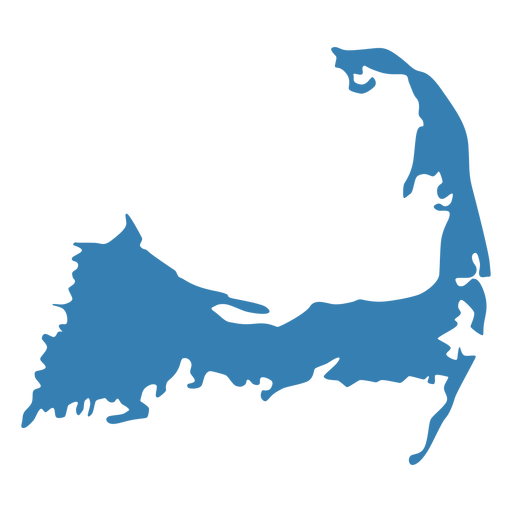
2481 land PNG und SVG Grafikdesigns
Downloade land PNG & SVG Designs mit transparentem Hintergrund für T-Shirts, Buchcovers, Handyhüllen und andere Artikel.
Alternativen:
landschaft
,
landschaften
,
landung
Sortieren nach
Am wichtigsten
Gesponserte Ergebnisse von
Erhalten Sie 15% Rabatt mit dem Code: VEXELS15
Details anzeigen
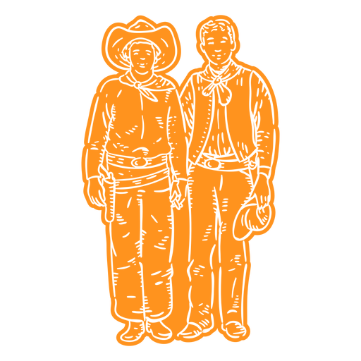
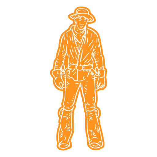
Cowboys und Cowgirls - 4 PNG-Design
Wählen Sie einen Ordner
Alle Favoriten
Neu erstellen
Speichern
Cowboys und Cowgirls - 4 PNG-Design
Cowboys und Cowgirls - 11 PNG-Design
Wählen Sie einen Ordner
Alle Favoriten
Neu erstellen
Speichern
Cowboys und Cowgirls - 11 PNG-Design
Cowboys und Cowgirls - 17 PNG-Design
Wählen Sie einen Ordner
Alle Favoriten
Neu erstellen
Speichern
Cowboys und Cowgirls - 17 PNG-Design
Cowboys und Cowgirls - 25 PNG-Design
Wählen Sie einen Ordner
Alle Favoriten
Neu erstellen
Speichern
Cowboys und Cowgirls - 25 PNG-Design
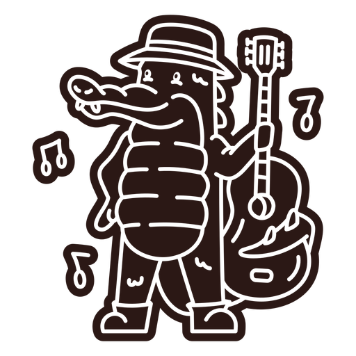
Gitarre-Tiere-Vinyl - 2 PNG-Design
Wählen Sie einen Ordner
Alle Favoriten
Neu erstellen
Speichern
Gitarre-Tiere-Vinyl - 2 PNG-Design
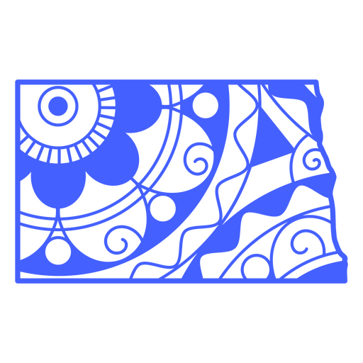
Staaten-Mandala North Dakota PNG-Design
Wählen Sie einen Ordner
Alle Favoriten
Neu erstellen
Speichern
Staaten-Mandala North Dakota PNG-Design
Extras - 0 PNG-Design
Wählen Sie einen Ordner
Alle Favoriten
Neu erstellen
Speichern
Extras - 0 PNG-Design
Costa-Rica - 20 PNG-Design
Wählen Sie einen Ordner
Alle Favoriten
Neu erstellen
Speichern
Costa-Rica - 20 PNG-Design
Costa-Rica - 23 PNG-Design
Wählen Sie einen Ordner
Alle Favoriten
Neu erstellen
Speichern
Costa-Rica - 23 PNG-Design
Costa-Rica - 32 PNG-Design
Wählen Sie einen Ordner
Alle Favoriten
Neu erstellen
Speichern
Costa-Rica - 32 PNG-Design
costa-rica - zeichen - silh - 4 PNG-Design
Wählen Sie einen Ordner
Alle Favoriten
Neu erstellen
Speichern
costa-rica - zeichen - silh - 4 PNG-Design
Französische Flagge Bastille gefüllt-Schlag PNG-Design
Wählen Sie einen Ordner
Alle Favoriten
Neu erstellen
Speichern
Französische Flagge Bastille gefüllt-Schlag PNG-Design
Französische Flagge Bastille Strich PNG-Design
Wählen Sie einen Ordner
Alle Favoriten
Neu erstellen
Speichern
Französische Flagge Bastille Strich PNG-Design
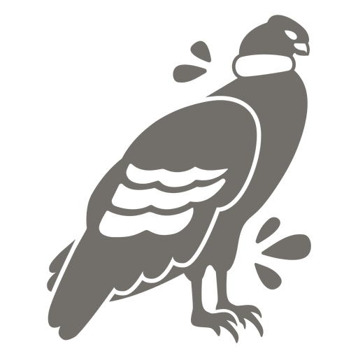
Andenkondor monochrom PNG-Design
Wählen Sie einen Ordner
Alle Favoriten
Neu erstellen
Speichern
Andenkondor monochrom PNG-Design
Chilenische Emapanadas monochrom PNG-Design
Wählen Sie einen Ordner
Alle Favoriten
Neu erstellen
Speichern
Chilenische Emapanadas monochrom PNG-Design
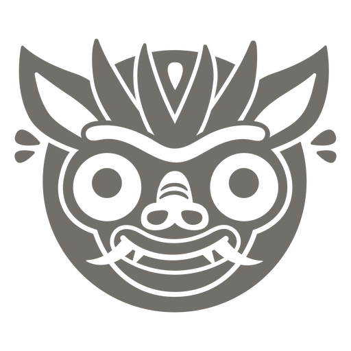
Fiesta tirana diablada chile monochrom PNG-Design
Wählen Sie einen Ordner
Alle Favoriten
Neu erstellen
Speichern
Fiesta tirana diablada chile monochrom PNG-Design
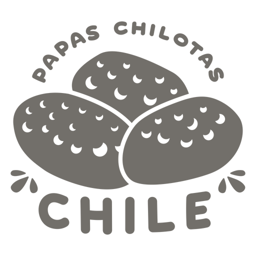
Papas Chilotas Chile Monochrom PNG-Design
Wählen Sie einen Ordner
Alle Favoriten
Neu erstellen
Speichern
Papas Chilotas Chile Monochrom PNG-Design
Perlen Costa Rica Schlaganfall PNG-Design
Wählen Sie einen Ordner
Alle Favoriten
Neu erstellen
Speichern
Perlen Costa Rica Schlaganfall PNG-Design
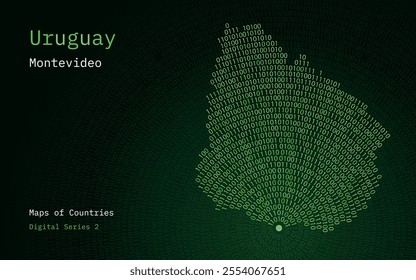
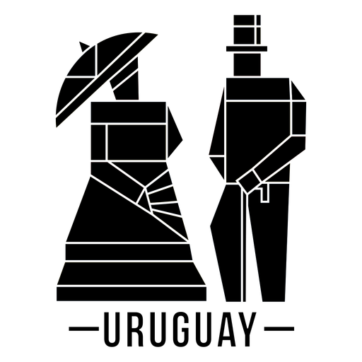
Kunst Uruguay traditionelles Paar dunkles Design PNG-Design
Wählen Sie einen Ordner
Alle Favoriten
Neu erstellen
Speichern
Kunst Uruguay traditionelles Paar dunkles Design PNG-Design
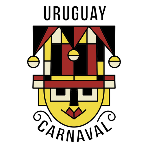
Karneval Uruguay abstrakte Kopf Design PNG-Design
Wählen Sie einen Ordner
Alle Favoriten
Neu erstellen
Speichern
Karneval Uruguay abstrakte Kopf Design PNG-Design
Karneval Uruguay Illustration PNG-Design
Wählen Sie einen Ordner
Alle Favoriten
Neu erstellen
Speichern
Karneval Uruguay Illustration PNG-Design
Dunkler Designvogel und Sonne PNG-Design
Wählen Sie einen Ordner
Alle Favoriten
Neu erstellen
Speichern
Dunkler Designvogel und Sonne PNG-Design
Montevideo traditionelles Schlaganfall abstraktes Design PNG-Design
Wählen Sie einen Ordner
Alle Favoriten
Neu erstellen
Speichern
Montevideo traditionelles Schlaganfall abstraktes Design PNG-Design
Peru traditionelle Trinkglasschattenbild PNG-Design
Wählen Sie einen Ordner
Alle Favoriten
Neu erstellen
Speichern
Peru traditionelle Trinkglasschattenbild PNG-Design
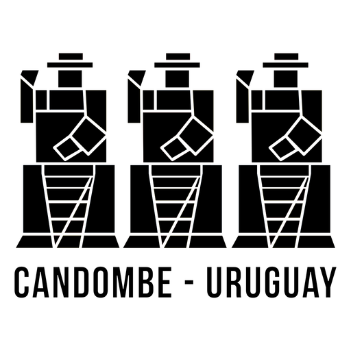
Dunkles Design der traditionellen Trommler Uruguays PNG-Design
Wählen Sie einen Ordner
Alle Favoriten
Neu erstellen
Speichern
Dunkles Design der traditionellen Trommler Uruguays PNG-Design
Premium
Kanadisches Parlament auf Ahornblatt flach PNG-Design
Wählen Sie einen Ordner
Alle Favoriten
Neu erstellen
Speichern
Kanadisches Parlament auf Ahornblatt flach PNG-Design
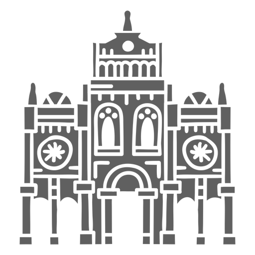
Uruguay Gebäude Palacio Salve PNG-Design
Wählen Sie einen Ordner
Alle Favoriten
Neu erstellen
Speichern
Uruguay Gebäude Palacio Salve PNG-Design
Bulgarien Flagge PNG-Design
Wählen Sie einen Ordner
Alle Favoriten
Neu erstellen
Speichern
Bulgarien Flagge PNG-Design
Ahornblatt in Sechseck flach PNG-Design
Wählen Sie einen Ordner
Alle Favoriten
Neu erstellen
Speichern
Ahornblatt in Sechseck flach PNG-Design
Koreanischer Fanschlag PNG-Design
Wählen Sie einen Ordner
Alle Favoriten
Neu erstellen
Speichern
Koreanischer Fanschlag PNG-Design
Dänischer Hot Dog Schlaganfall PNG-Design
Wählen Sie einen Ordner
Alle Favoriten
Neu erstellen
Speichern
Dänischer Hot Dog Schlaganfall PNG-Design
Traditionelles dänisches Essen schwarz PNG-Design
Wählen Sie einen Ordner
Alle Favoriten
Neu erstellen
Speichern
Traditionelles dänisches Essen schwarz PNG-Design
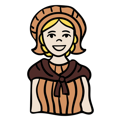
Traditioneller belgischer Manncharaktermann PNG-Design
Wählen Sie einen Ordner
Alle Favoriten
Neu erstellen
Speichern
Traditioneller belgischer Manncharaktermann PNG-Design
Traditioneller belgischer Mannschlag PNG-Design
Wählen Sie einen Ordner
Alle Favoriten
Neu erstellen
Speichern
Traditioneller belgischer Mannschlag PNG-Design
Traditioneller belgischer Frauencharakter PNG-Design
Wählen Sie einen Ordner
Alle Favoriten
Neu erstellen
Speichern
Traditioneller belgischer Frauencharakter PNG-Design
Netter norwegischer Mannfolklorestreich PNG-Design
Wählen Sie einen Ordner
Alle Favoriten
Neu erstellen
Speichern
Netter norwegischer Mannfolklorestreich PNG-Design
Premium
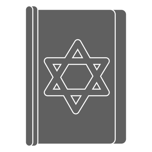
Buch David Star PNG-Design
Wählen Sie einen Ordner
Alle Favoriten
Neu erstellen
Speichern
Buch David Star PNG-Design
Premium
Doppelte Davidsterne PNG-Design
Wählen Sie einen Ordner
Alle Favoriten
Neu erstellen
Speichern
Doppelte Davidsterne PNG-Design
Premium
Irisches einfaches Element PNG-Design
Wählen Sie einen Ordner
Alle Favoriten
Neu erstellen
Speichern
Irisches einfaches Element PNG-Design
Premium
Tanzpose Dame hob Hände Silhouette PNG-Design
Wählen Sie einen Ordner
Alle Favoriten
Neu erstellen
Speichern
Tanzpose Dame hob Hände Silhouette PNG-Design
Premium
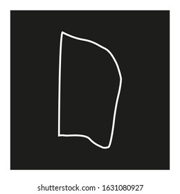
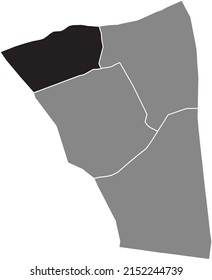
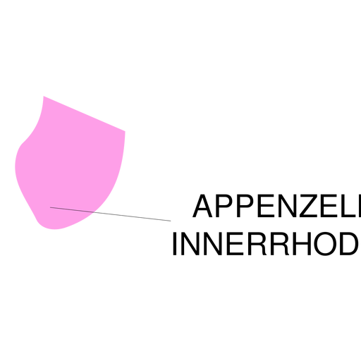
Karte des Kantons Appenzell innerrhoden PNG-Design
Wählen Sie einen Ordner
Alle Favoriten
Neu erstellen
Speichern
Karte des Kantons Appenzell innerrhoden PNG-Design
Premium
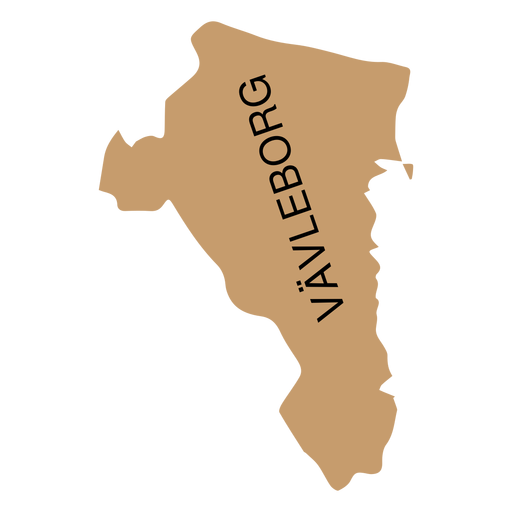
Landkarte von Gavleborg PNG-Design
Wählen Sie einen Ordner
Alle Favoriten
Neu erstellen
Speichern
Landkarte von Gavleborg PNG-Design
Premium
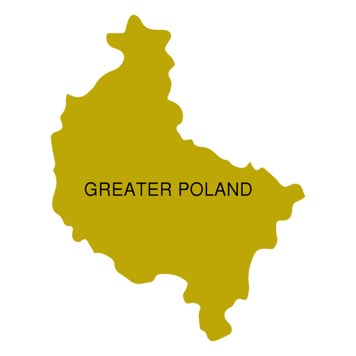
Karte der Woiwodschaft Großpolen PNG-Design
Wählen Sie einen Ordner
Alle Favoriten
Neu erstellen
Speichern
Karte der Woiwodschaft Großpolen PNG-Design
Premium
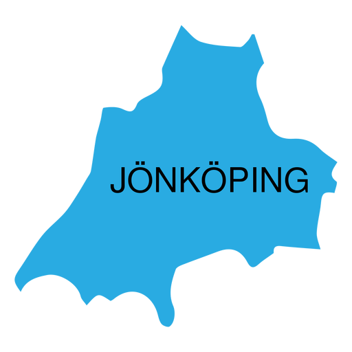
Jonkoping Grafschaftskarte PNG-Design
Wählen Sie einen Ordner
Alle Favoriten
Neu erstellen
Speichern
Jonkoping Grafschaftskarte PNG-Design
Premium
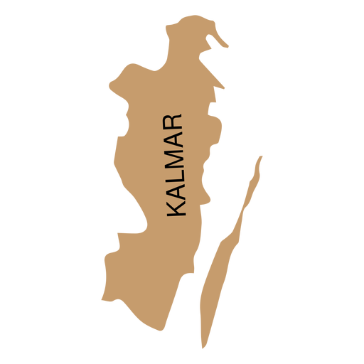
Kalmar Grafschaftskarte PNG-Design
Wählen Sie einen Ordner
Alle Favoriten
Neu erstellen
Speichern
Kalmar Grafschaftskarte PNG-Design
Premium
Kronoberg Grafschaftskarte PNG-Design
Wählen Sie einen Ordner
Alle Favoriten
Neu erstellen
Speichern
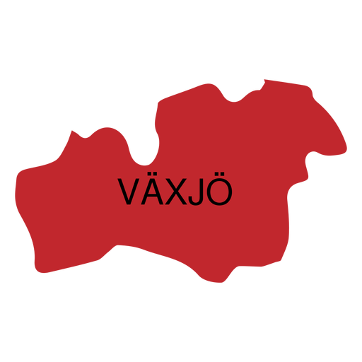
Kronoberg Grafschaftskarte PNG-Design
Premium
Woiwodschaftskarte für Kleinpolen PNG-Design
Wählen Sie einen Ordner
Alle Favoriten
Neu erstellen
Speichern
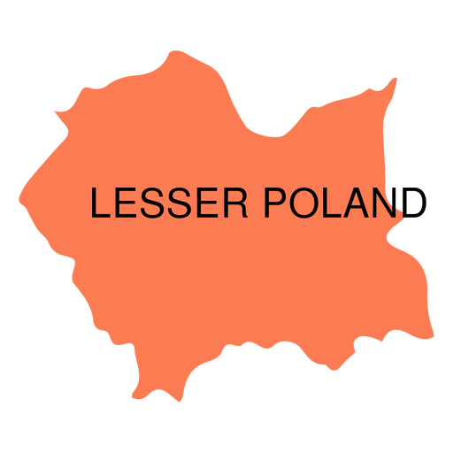
Woiwodschaftskarte für Kleinpolen PNG-Design
Premium
Karte der Woiwodschaft Lodz PNG-Design
Wählen Sie einen Ordner
Alle Favoriten
Neu erstellen
Speichern
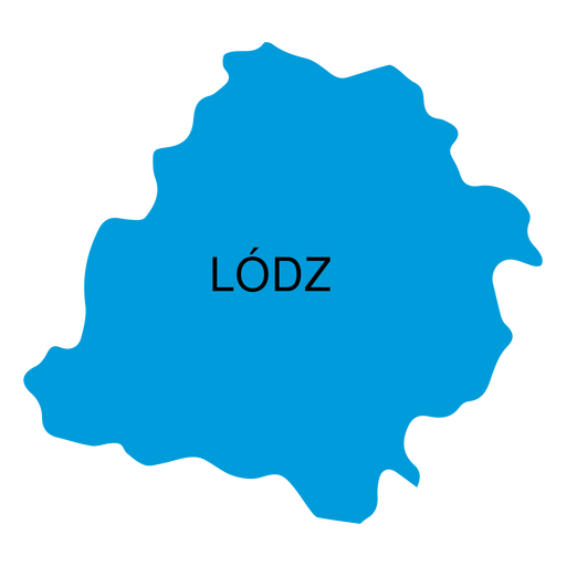
Karte der Woiwodschaft Lodz PNG-Design
Premium
Karte der Woiwodschaft Lublin PNG-Design
Wählen Sie einen Ordner
Alle Favoriten
Neu erstellen
Speichern
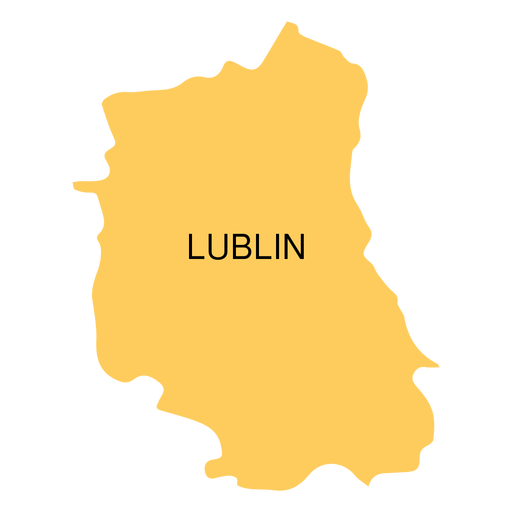
Karte der Woiwodschaft Lublin PNG-Design
Premium
Karte der Woiwodschaft Lebus PNG-Design
Wählen Sie einen Ordner
Alle Favoriten
Neu erstellen
Speichern
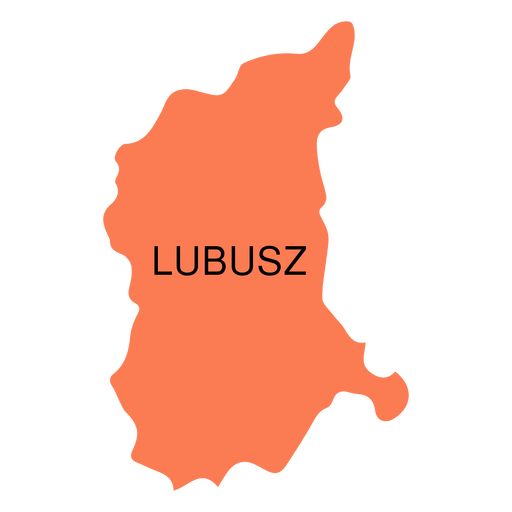
Karte der Woiwodschaft Lebus PNG-Design
Steigere dein Geschäft
Mit der führenden Grafik Plattform für Merch.
PLÄNE SEHEN
Nächste Seite
von 50
prev page
next page