Design-Bibliothek
Neue Merch Designs
T-Shirts
Vektoren
Trendige Merch Designs
PNGs & SVGs
Mockups
T-Shirt PSD-Vorlagen
Entdecken Sie Designs
KDP Designs
Posters
Becher
Handytaschen
Tragetaschen
Kopfkissen
Design-Tools
Merch Designer
Neu!
Mockup Generator
Ki-Design-Generator
Vektorisierer
Quote Generator
T-Shirt Maker (alt)
Hilfe
Merch Digest
Blog
Hilfezentrum
Über Merch erfahren
Feedback
Unternehmenslösungen
Unternehmen
API-Zugriff
Designstudio
Massendesign-Produktion
Preise
Loading...
Registrieren
Einloggen
All
region
Design-Bibliothek
Neue Merch Designs
T-Shirts
Vektoren
Trendige Merch Designs
PNGs & SVGs
Mockups
T-Shirt PSD-Vorlagen
Entdecken Sie Designs
KDP Designs
Posters
Becher
Handytaschen
Tragetaschen
Kopfkissen
Design-Tools
Merch Designer
Neu!
Mockup Generator
Ki-Design-Generator
Vektorisierer
Quote Generator
T-Shirt Maker (alt)
Hilfe
Merch Digest
Blog
Hilfezentrum
Über Merch erfahren
Feedback
Unternehmenslösungen
Unternehmen
API-Zugriff
Designstudio
Massendesign-Produktion
PLÄNE
All
region
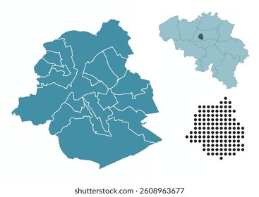
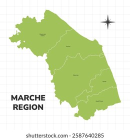
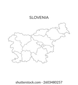
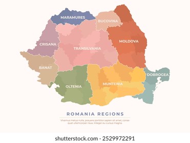
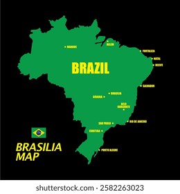
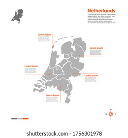
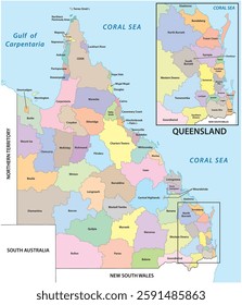
139 region Grafikendesigns für T-Shirt und Print On Demand Merch
Downloade region T-Shirt Designs und andere Merch-Grafiken wie Buchcovers, Handyhüllen, Tragetaschen und mehr.
Alternativen:
regionen
,
regional
,
historische regionen
Sortieren nach
Am wichtigsten
Gesponserte Ergebnisse von
Erhalten Sie 15% Rabatt mit dem Code: VEXELS15
Details anzeigen
Premium
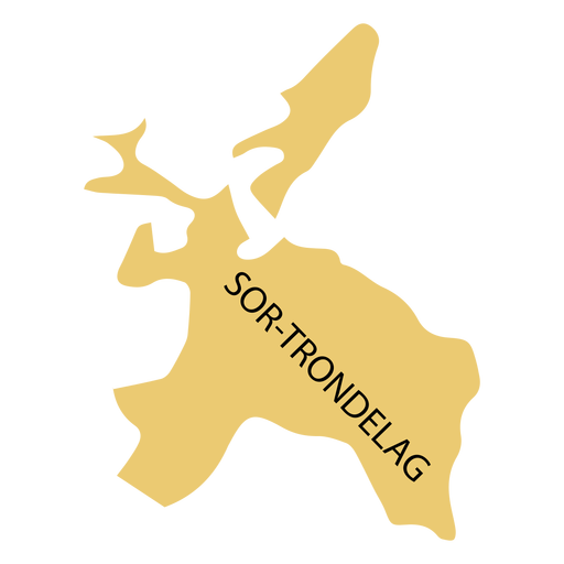
Sor Trondelag County Karte PNG-Design
Wählen Sie einen Ordner
Alle Favoriten
Neu erstellen
Speichern
Sor Trondelag County Karte PNG-Design
Premium
Weste Agder County Karte PNG-Design
Wählen Sie einen Ordner
Alle Favoriten
Neu erstellen
Speichern
Weste Agder County Karte PNG-Design
Von KI generiert, von unseren Designern kuratiert.
Merch
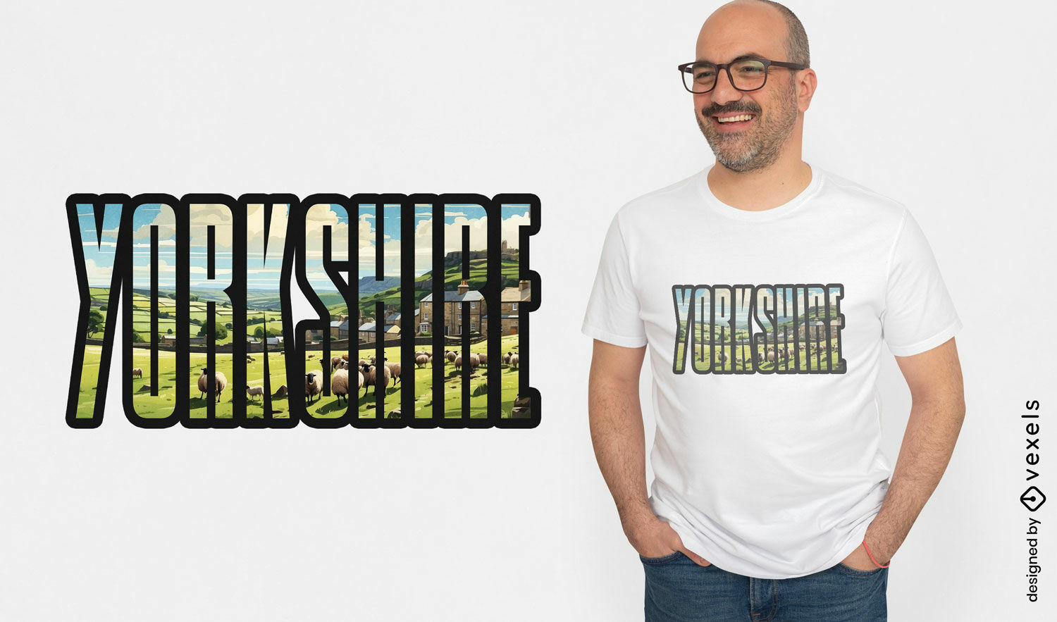
Yorkshire-Slogan-T-Shirt-Design
Wählen Sie einen Ordner
Alle Favoriten
Neu erstellen
Speichern
Yorkshire-Slogan-T-Shirt-Design
Premium
Stilisierte Silhouette der Inselkarte von Hongkong PNG-Design
Wählen Sie einen Ordner
Alle Favoriten
Neu erstellen
Speichern
Stilisierte Silhouette der Inselkarte von Hongkong PNG-Design
Premium
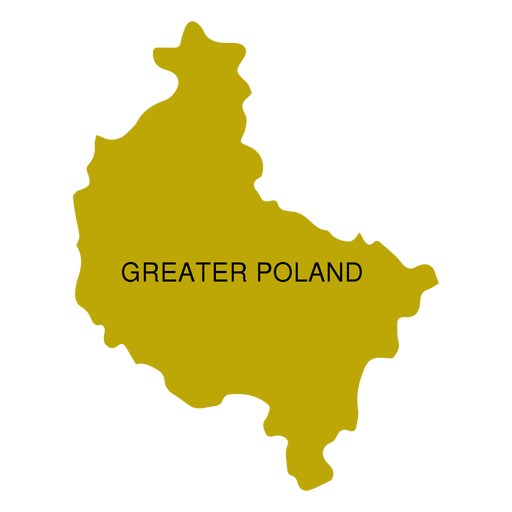
Karte der Woiwodschaft Großpolen PNG-Design
Wählen Sie einen Ordner
Alle Favoriten
Neu erstellen
Speichern
Karte der Woiwodschaft Großpolen PNG-Design
Premium
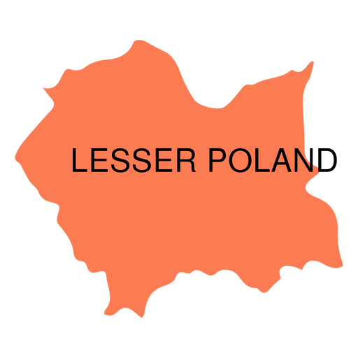
Woiwodschaftskarte für Kleinpolen PNG-Design
Wählen Sie einen Ordner
Alle Favoriten
Neu erstellen
Speichern
Woiwodschaftskarte für Kleinpolen PNG-Design
Premium
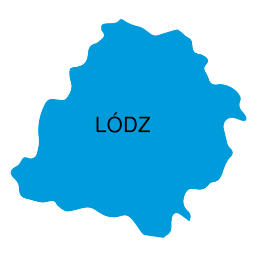
Karte der Woiwodschaft Lodz PNG-Design
Wählen Sie einen Ordner
Alle Favoriten
Neu erstellen
Speichern
Karte der Woiwodschaft Lodz PNG-Design
Premium
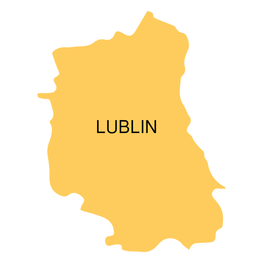
Karte der Woiwodschaft Lublin PNG-Design
Wählen Sie einen Ordner
Alle Favoriten
Neu erstellen
Speichern
Karte der Woiwodschaft Lublin PNG-Design
Premium
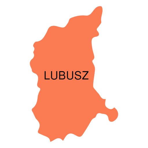
Karte der Woiwodschaft Lebus PNG-Design
Wählen Sie einen Ordner
Alle Favoriten
Neu erstellen
Speichern
Karte der Woiwodschaft Lebus PNG-Design
Premium
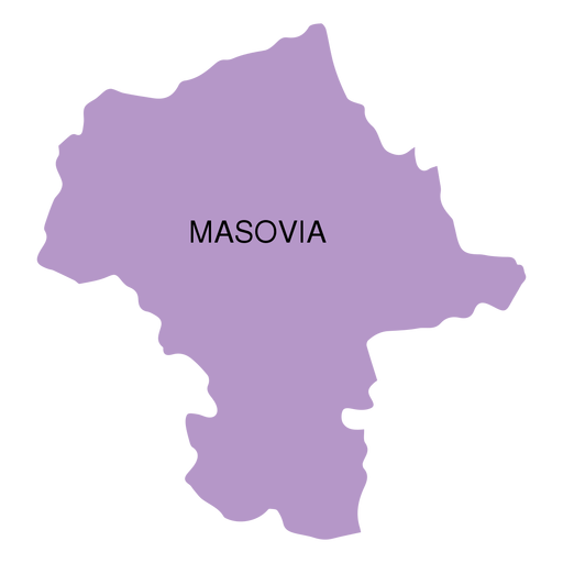
Karte der Woiwodschaft Masowien PNG-Design
Wählen Sie einen Ordner
Alle Favoriten
Neu erstellen
Speichern
Karte der Woiwodschaft Masowien PNG-Design
Premium
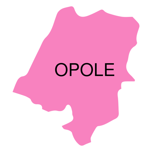
Karte der Woiwodschaft Oppeln PNG-Design
Wählen Sie einen Ordner
Alle Favoriten
Neu erstellen
Speichern
Karte der Woiwodschaft Oppeln PNG-Design
Premium
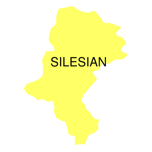
Schlesische Woiwodschaftskarte PNG-Design
Wählen Sie einen Ordner
Alle Favoriten
Neu erstellen
Speichern
Schlesische Woiwodschaftskarte PNG-Design
Premium
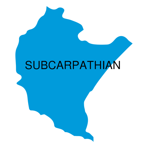
Woiwodschaftskarte der Karpaten PNG-Design
Wählen Sie einen Ordner
Alle Favoriten
Neu erstellen
Speichern
Woiwodschaftskarte der Karpaten PNG-Design
Premium
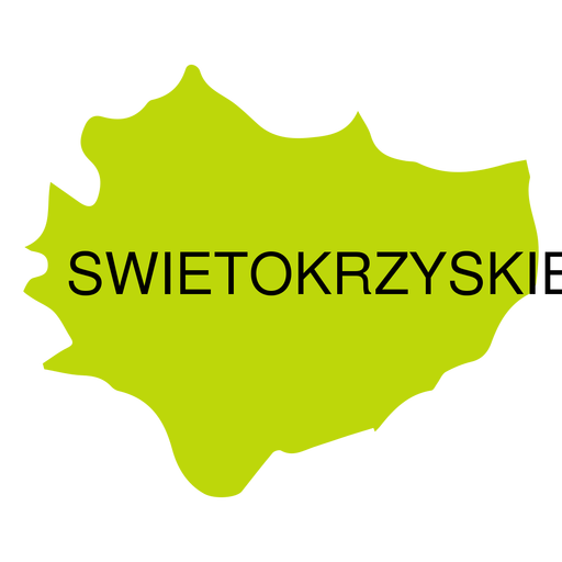
Swietokrzyskie Woiwodschaftskarte PNG-Design
Wählen Sie einen Ordner
Alle Favoriten
Neu erstellen
Speichern
Swietokrzyskie Woiwodschaftskarte PNG-Design
Premium
Vintage-inspiriertes Bio-Bananen-Etikettendesign PNG-Design
Wählen Sie einen Ordner
Alle Favoriten
Neu erstellen
Speichern
Vintage-inspiriertes Bio-Bananen-Etikettendesign PNG-Design
Premium
Stilisierte Kartensilhouette von Nordirland PNG-Design
Wählen Sie einen Ordner
Alle Favoriten
Neu erstellen
Speichern
Stilisierte Kartensilhouette von Nordirland PNG-Design
Premium
Stilisierte Silhouette des Schottland-Kartendesigns PNG-Design
Wählen Sie einen Ordner
Alle Favoriten
Neu erstellen
Speichern
Stilisierte Silhouette des Schottland-Kartendesigns PNG-Design
Premium
Stilisierte Silhouette des Irak-Kartendesigns PNG-Design
Wählen Sie einen Ordner
Alle Favoriten
Neu erstellen
Speichern
Stilisierte Silhouette des Irak-Kartendesigns PNG-Design
Premium
Etikettendesign für Bio-Äpfel im Vintage-Stil PNG-Design
Wählen Sie einen Ordner
Alle Favoriten
Neu erstellen
Speichern
Etikettendesign für Bio-Äpfel im Vintage-Stil PNG-Design
Premium
Vintage-Avocado-Etikettendesign PNG-Design
Wählen Sie einen Ordner
Alle Favoriten
Neu erstellen
Speichern
Vintage-Avocado-Etikettendesign PNG-Design
Premium
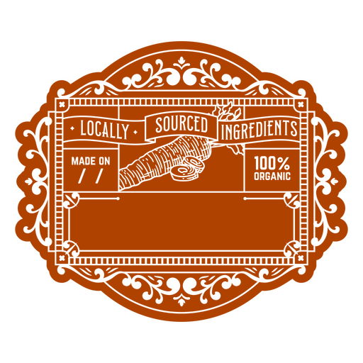
Etikettendesign für Bio-Zutaten im Vintage-Stil PNG-Design
Wählen Sie einen Ordner
Alle Favoriten
Neu erstellen
Speichern
Etikettendesign für Bio-Zutaten im Vintage-Stil PNG-Design
Premium
Elegantes Verpackungsdesign für Bio-Mandeln PNG-Design
Wählen Sie einen Ordner
Alle Favoriten
Neu erstellen
Speichern
Elegantes Verpackungsdesign für Bio-Mandeln PNG-Design
Premium
Vintage-Etikettendesign für Bio-Lebensmittel PNG-Design
Wählen Sie einen Ordner
Alle Favoriten
Neu erstellen
Speichern
Vintage-Etikettendesign für Bio-Lebensmittel PNG-Design
Premium
Etikettendesign für Bio-Lebensmittel im Vintage-Stil PNG-Design
Wählen Sie einen Ordner
Alle Favoriten
Neu erstellen
Speichern
Etikettendesign für Bio-Lebensmittel im Vintage-Stil PNG-Design
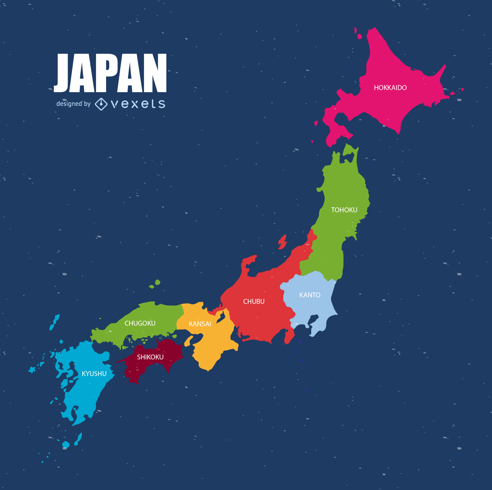
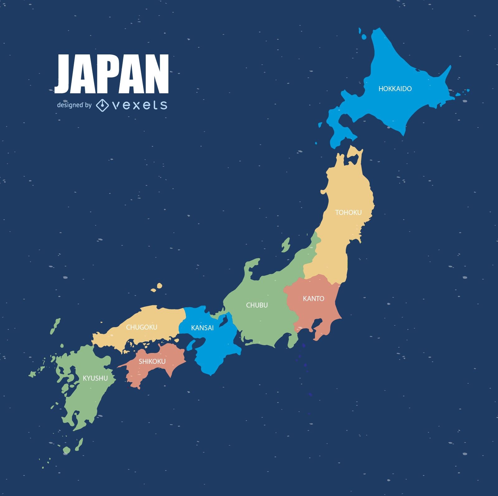
Japan Karte Vektor
Wählen Sie einen Ordner
Alle Favoriten
Neu erstellen
Speichern
Japan Karte Vektor
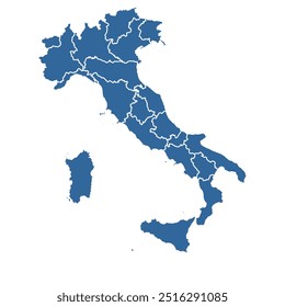
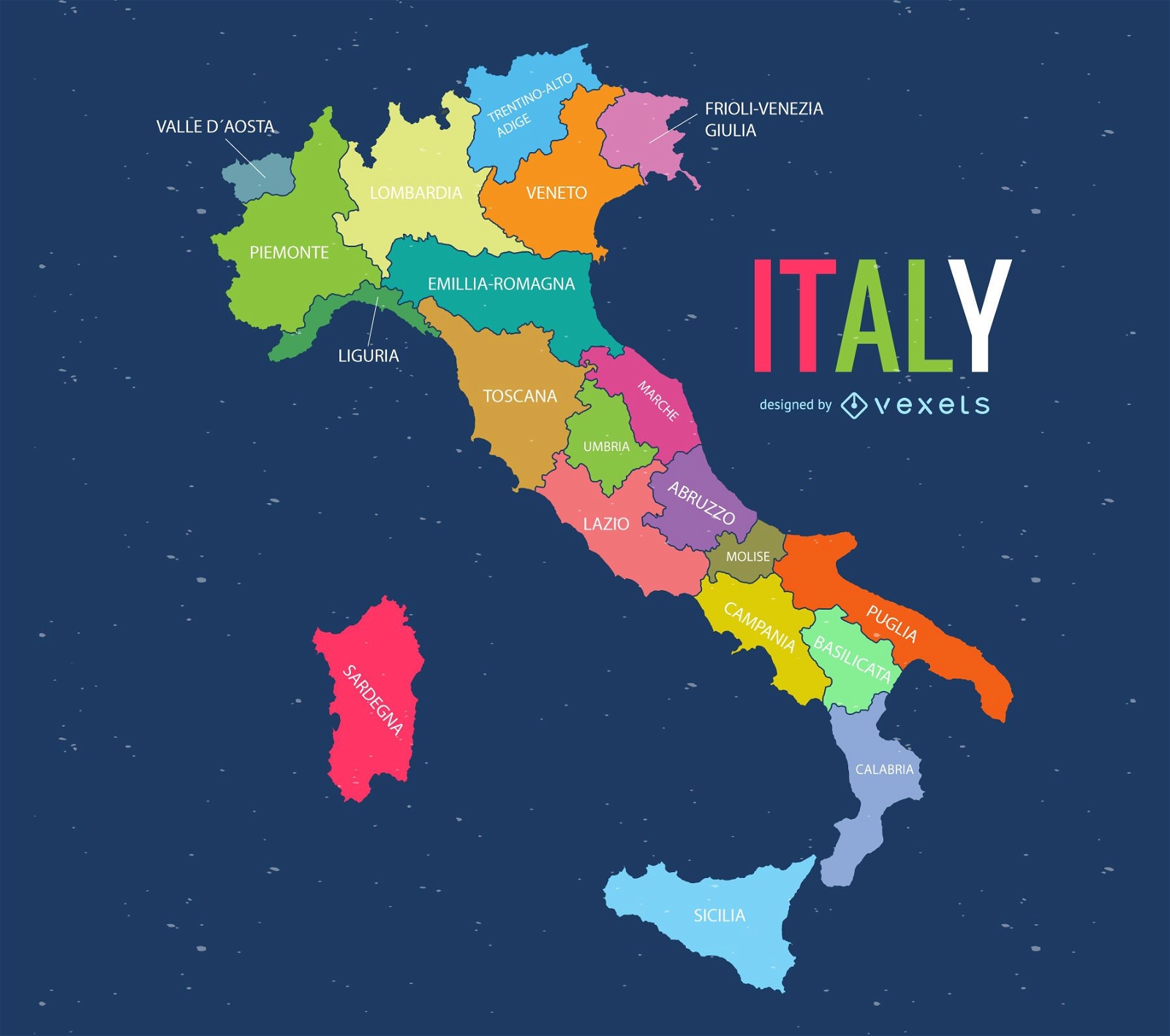
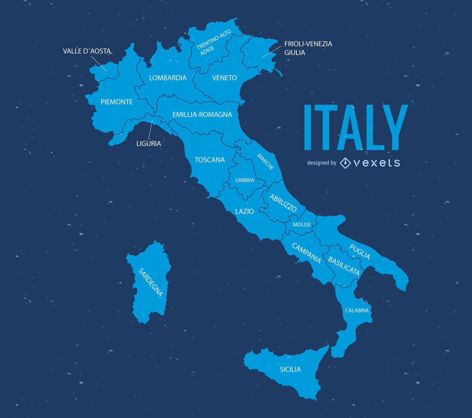
Italien Karte
Wählen Sie einen Ordner
Alle Favoriten
Neu erstellen
Speichern
Italien Karte
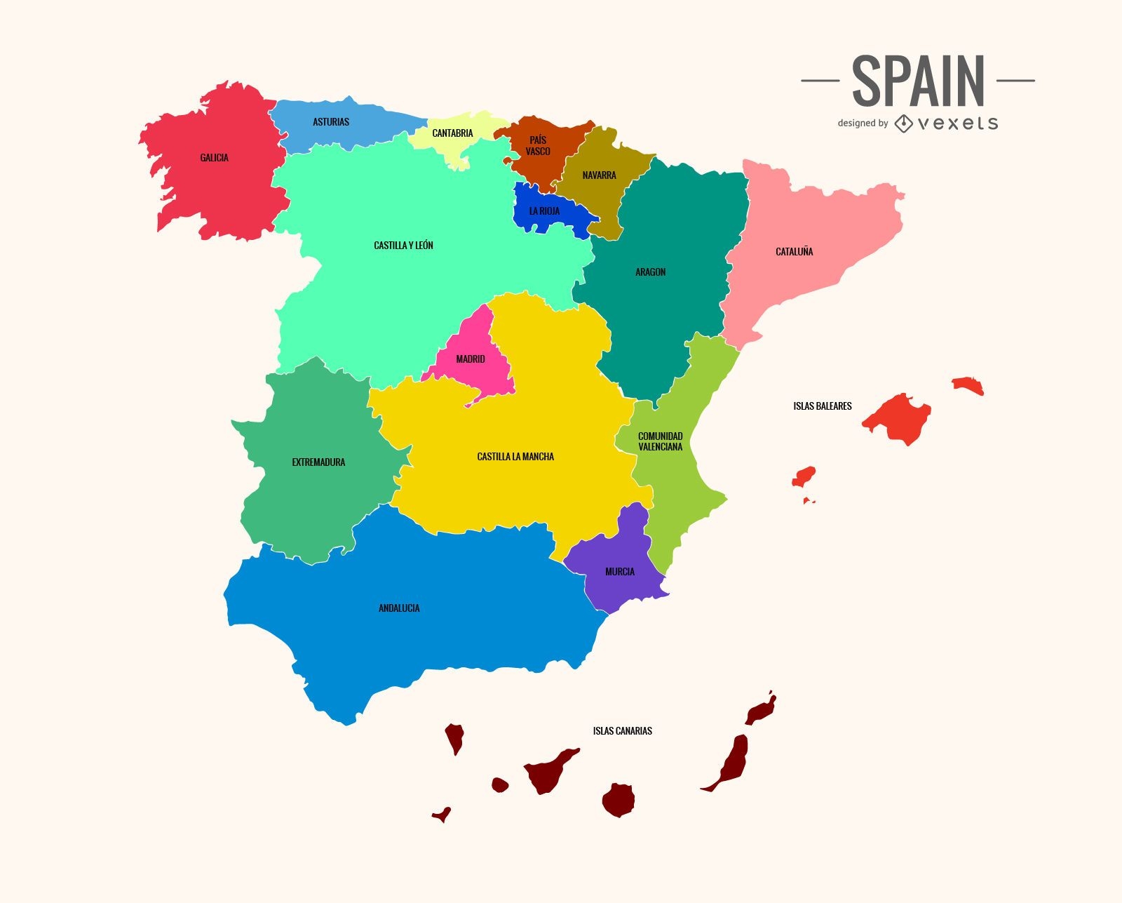
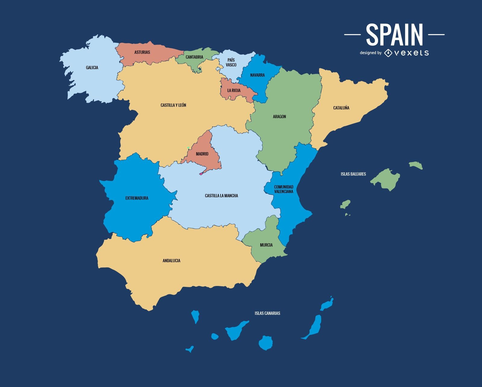
Bunte Spanienkarte
Wählen Sie einen Ordner
Alle Favoriten
Neu erstellen
Speichern
Bunte Spanienkarte
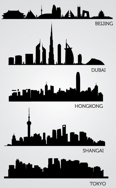
Asiatische Skyline-Silhouetten
Wählen Sie einen Ordner
Alle Favoriten
Neu erstellen
Speichern
Asiatische Skyline-Silhouetten
Bunte Japankarte
Wählen Sie einen Ordner
Alle Favoriten
Neu erstellen
Speichern
Bunte Japankarte
Italien Kartenillustration
Wählen Sie einen Ordner
Alle Favoriten
Neu erstellen
Speichern
Italien Kartenillustration
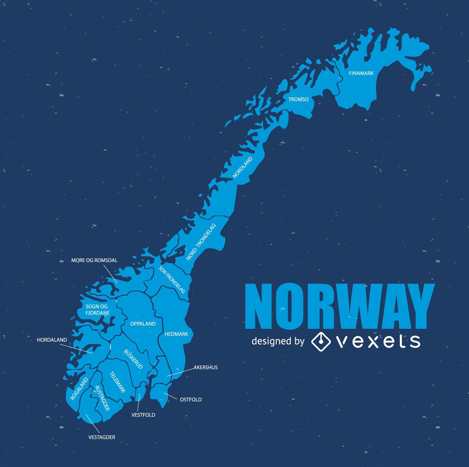
Norwegen Karte
Wählen Sie einen Ordner
Alle Favoriten
Neu erstellen
Speichern
Norwegen Karte
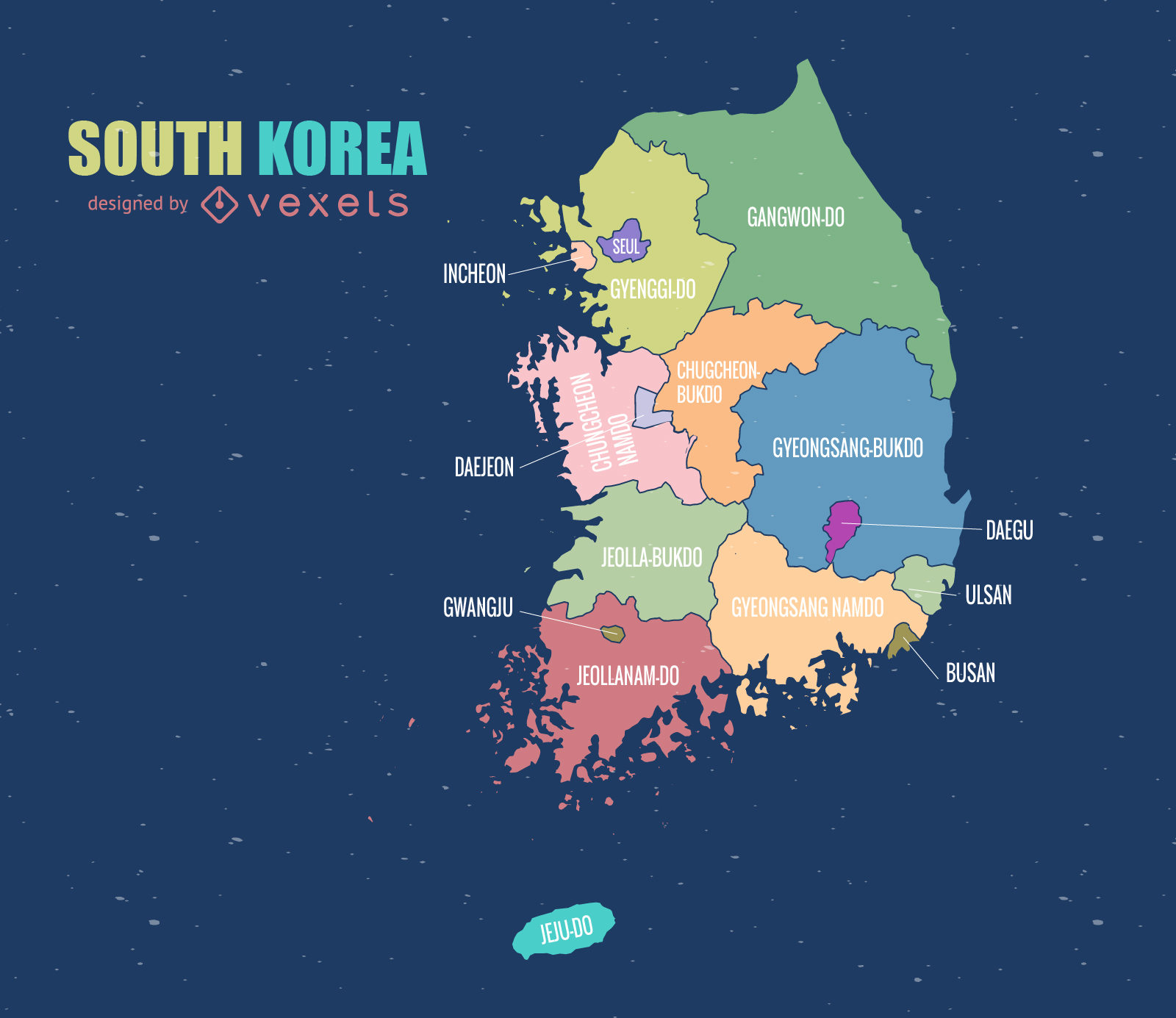
Südkorea Karte
Wählen Sie einen Ordner
Alle Favoriten
Neu erstellen
Speichern
Südkorea Karte
Politische Spanien Karte
Wählen Sie einen Ordner
Alle Favoriten
Neu erstellen
Speichern
Politische Spanien Karte
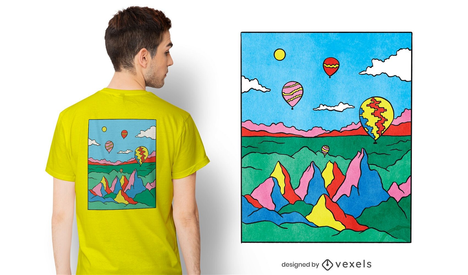
Druckfertig
Merch
Buntes Capadocia-T-Shirt-Design
Wählen Sie einen Ordner
Alle Favoriten
Neu erstellen
Speichern
Buntes Capadocia-T-Shirt-Design
Premium
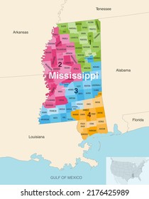
Der Bundesstaat Tennessee wird angezeigt PNG-Design
Wählen Sie einen Ordner
Alle Favoriten
Neu erstellen
Speichern
Der Bundesstaat Tennessee wird angezeigt PNG-Design
Premium
Wassermelonenetikett PNG-Design
Wählen Sie einen Ordner
Alle Favoriten
Neu erstellen
Speichern
Wassermelonenetikett PNG-Design
Premium
Grünes Label für Bio-Zitronengras PNG-Design
Wählen Sie einen Ordner
Alle Favoriten
Neu erstellen
Speichern
Grünes Label für Bio-Zitronengras PNG-Design
Premium
Etikett mit Logo für regionale Zutaten PNG-Design
Wählen Sie einen Ordner
Alle Favoriten
Neu erstellen
Speichern
Etikett mit Logo für regionale Zutaten PNG-Design
Premium
Etikett mit den Worten ?Zutaten aus lokaler Produktion? PNG-Design
Wählen Sie einen Ordner
Alle Favoriten
Neu erstellen
Speichern
Etikett mit den Worten ?Zutaten aus lokaler Produktion? PNG-Design
Steigere dein Geschäft
Mit der führenden Grafik Plattform für Merch.
PLÄNE SEHEN
von 3
prev page
next page