Design-Bibliothek
Neue Merch Designs
T-Shirts
Vektoren
Trendige Merch Designs
PNGs & SVGs
Mockups
T-Shirt PSD-Vorlagen
Entdecken Sie Designs
KDP Designs
Posters
Becher
Handytaschen
Tragetaschen
Kopfkissen
Design-Tools
Merch Designer
Neu!
Mockup Generator
Ki-Design-Generator
Vektorisierer
Quote Generator
T-Shirt Maker (alt)
Hilfe
Merch Digest
Blog
Hilfezentrum
Über Merch erfahren
Feedback
Unternehmenslösungen
Unternehmen
API-Zugriff
Designstudio
Massendesign-Produktion
Preise
Loading...
Registrieren
Einloggen
All
estados
Design-Bibliothek
Neue Merch Designs
T-Shirts
Vektoren
Trendige Merch Designs
PNGs & SVGs
Mockups
T-Shirt PSD-Vorlagen
Entdecken Sie Designs
KDP Designs
Posters
Becher
Handytaschen
Tragetaschen
Kopfkissen
Design-Tools
Merch Designer
Neu!
Mockup Generator
Ki-Design-Generator
Vektorisierer
Quote Generator
T-Shirt Maker (alt)
Hilfe
Merch Digest
Blog
Hilfezentrum
Über Merch erfahren
Feedback
Unternehmenslösungen
Unternehmen
API-Zugriff
Designstudio
Massendesign-Produktion
PLÄNE
All
estados
3420 estados Grafikendesigns für T-Shirt und Print On Demand Merch
Downloade estados T-Shirt Designs und andere Merch-Grafiken wie Buchcovers, Handyhüllen, Tragetaschen und mehr.
Sortieren nach
Am wichtigsten
Gesponserte Ergebnisse von
Erhalten Sie 15% Rabatt mit dem Code: VEXELS15
Details anzeigen
USA Wimpel Symbol PNG-Design
Wählen Sie einen Ordner
Alle Favoriten
Neu erstellen
Speichern
USA Wimpel Symbol PNG-Design
Premium
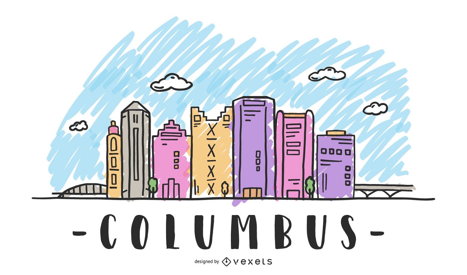
Columbus USA Skyline Design
Wählen Sie einen Ordner
Alle Favoriten
Neu erstellen
Speichern
Columbus USA Skyline Design
Druckfertig
Premium
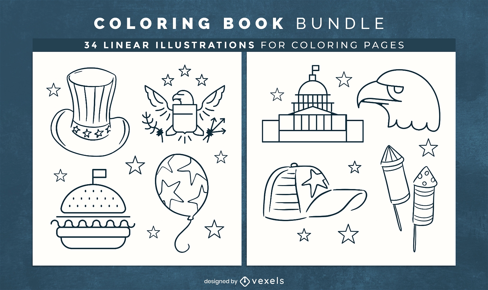
USA-Elemente Malbuch-Design-Seiten
Wählen Sie einen Ordner
Alle Favoriten
Neu erstellen
Speichern
USA-Elemente Malbuch-Design-Seiten
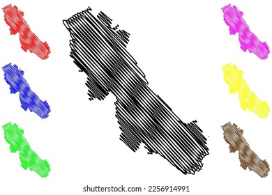
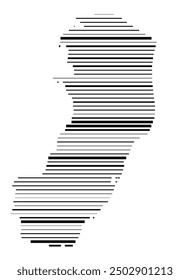
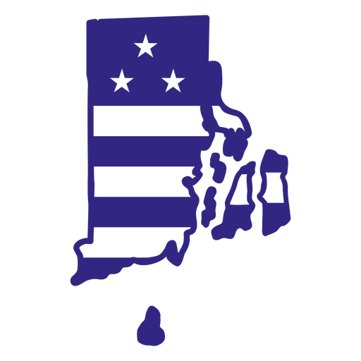
Rhode-Island-Duotone-Staaten PNG-Design
Wählen Sie einen Ordner
Alle Favoriten
Neu erstellen
Speichern
Rhode-Island-Duotone-Staaten PNG-Design
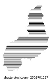
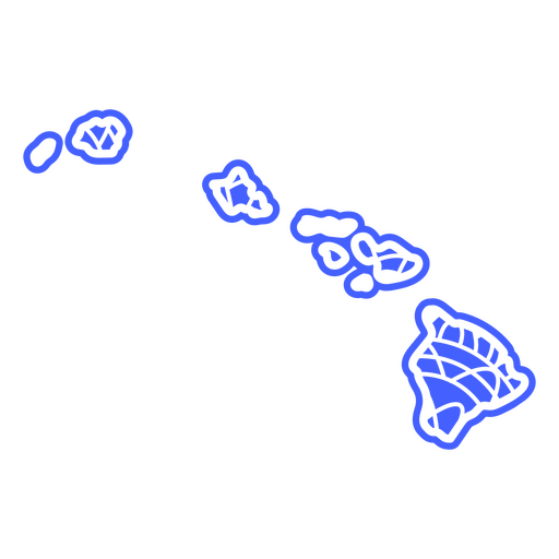
Hawaii-Mandala-Staaten PNG-Design
Wählen Sie einen Ordner
Alle Favoriten
Neu erstellen
Speichern
Hawaii-Mandala-Staaten PNG-Design
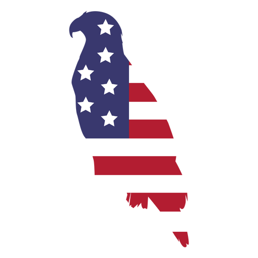
Usa Flaggenadler flach PNG-Design
Wählen Sie einen Ordner
Alle Favoriten
Neu erstellen
Speichern
Usa Flaggenadler flach PNG-Design
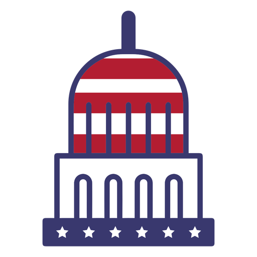
USA-Flagge in der Kapitolwohnung PNG-Design
Wählen Sie einen Ordner
Alle Favoriten
Neu erstellen
Speichern
USA-Flagge in der Kapitolwohnung PNG-Design
Usa Maske Karneval PNG-Design
Wählen Sie einen Ordner
Alle Favoriten
Neu erstellen
Speichern
Usa Maske Karneval PNG-Design
Druckfertig
Merch
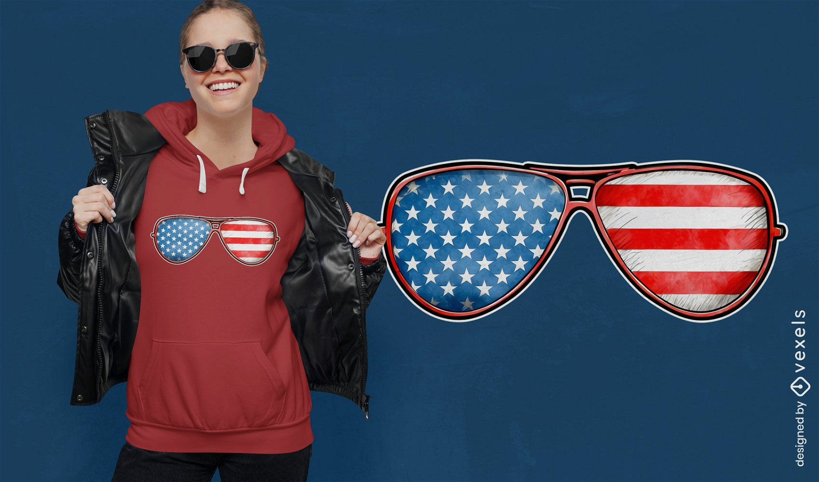
Patriotisches Sonnenbrillen-T-Shirt-Design mit USA-Flagge
Wählen Sie einen Ordner
Alle Favoriten
Neu erstellen
Speichern
Patriotisches Sonnenbrillen-T-Shirt-Design mit USA-Flagge
Editierbarer Text
Druckfertig
Merch
T-Shirt-Design mit Flagge der Vereinigten Staaten
Wählen Sie einen Ordner
Alle Favoriten
Neu erstellen
Speichern
T-Shirt-Design mit Flagge der Vereinigten Staaten
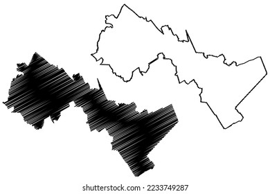
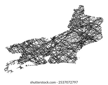
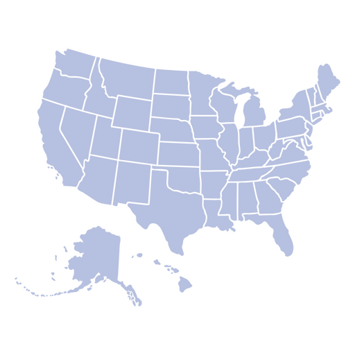
USA-Landkartenstaaten umrissen PNG-Design
Wählen Sie einen Ordner
Alle Favoriten
Neu erstellen
Speichern
USA-Landkartenstaaten umrissen PNG-Design
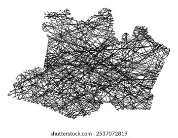
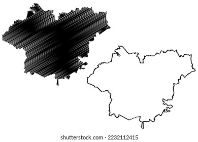
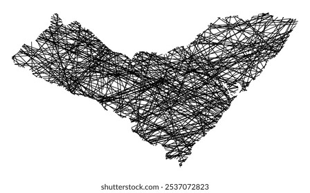
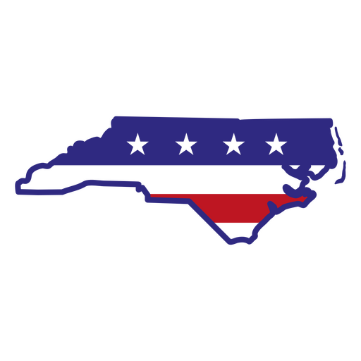
North Carolina-Farbstrichzustände PNG-Design
Wählen Sie einen Ordner
Alle Favoriten
Neu erstellen
Speichern
North Carolina-Farbstrichzustände PNG-Design
Editierbarer Text
Druckfertig
Premium
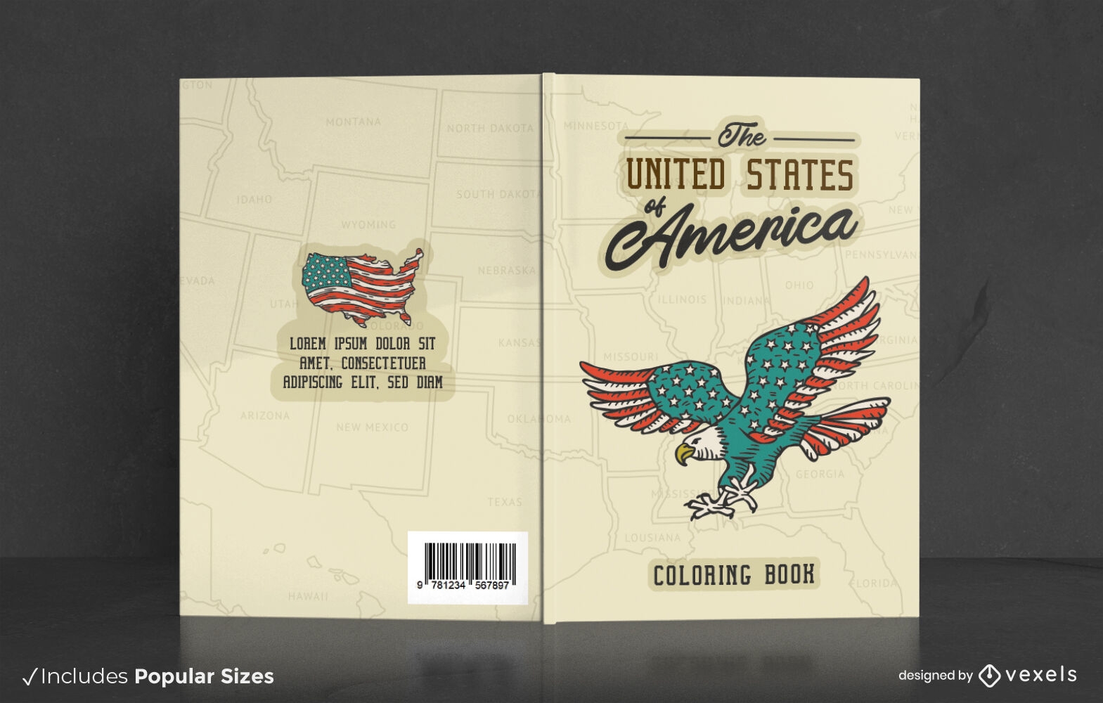
USA-Malbuch-Cover-Design
Wählen Sie einen Ordner
Alle Favoriten
Neu erstellen
Speichern
USA-Malbuch-Cover-Design
Premium
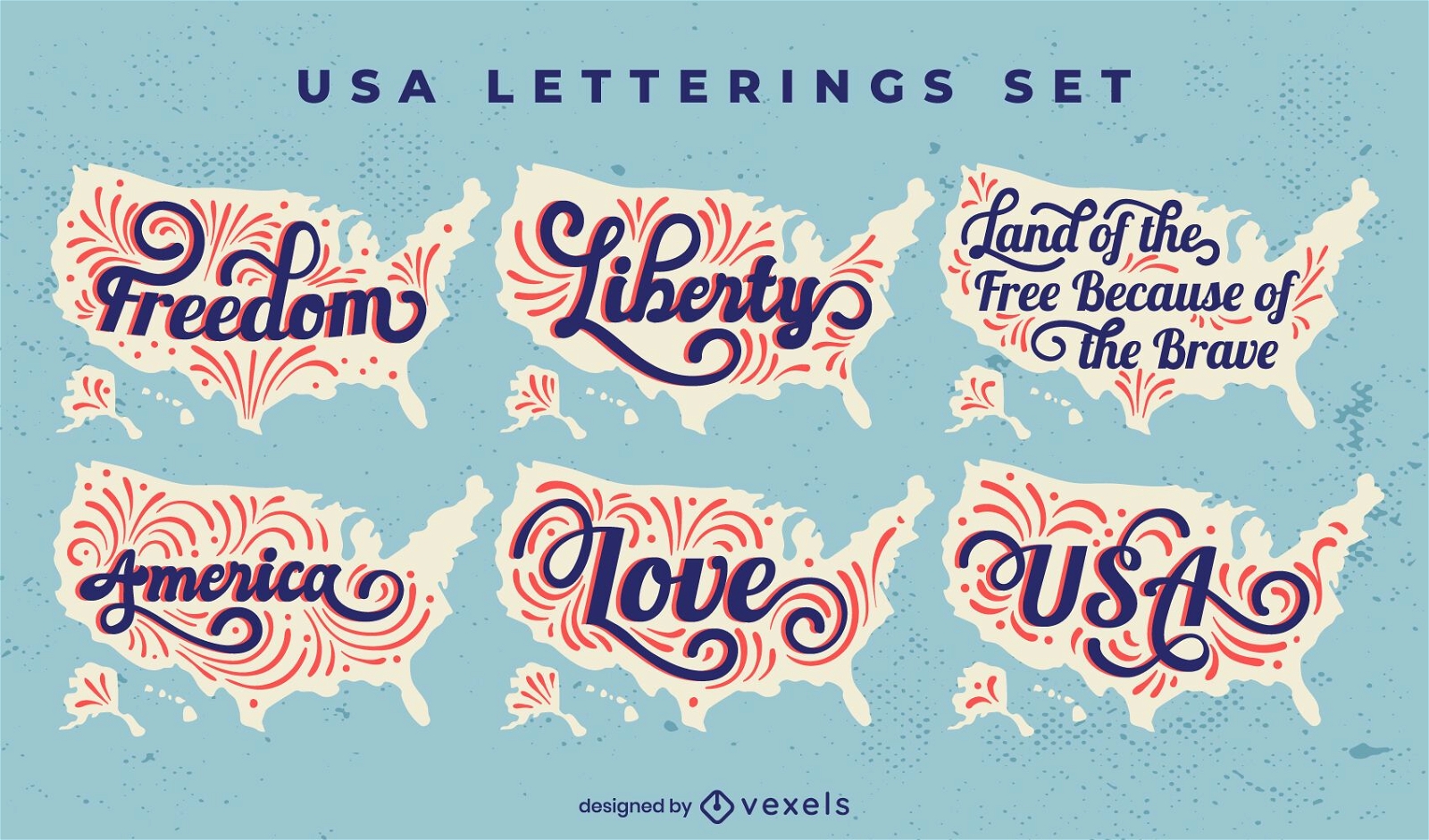
Fourth of July Schriftzug USA Abzeichen Set
Wählen Sie einen Ordner
Alle Favoriten
Neu erstellen
Speichern
Fourth of July Schriftzug USA Abzeichen Set
USA Unabhängigkeitstag Elemente Vintage - 12 PNG-Design
Wählen Sie einen Ordner
Alle Favoriten
Neu erstellen
Speichern
USA Unabhängigkeitstag Elemente Vintage - 12 PNG-Design
Wimpel der Vereinigten Staaten PNG-Design
Wählen Sie einen Ordner
Alle Favoriten
Neu erstellen
Speichern
Wimpel der Vereinigten Staaten PNG-Design
Flaggensymbol der Vereinigten Staaten PNG-Design
Wählen Sie einen Ordner
Alle Favoriten
Neu erstellen
Speichern
Flaggensymbol der Vereinigten Staaten PNG-Design
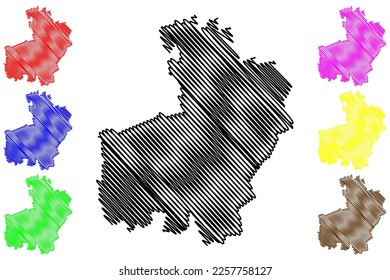
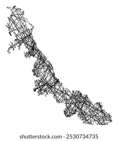
Staaten duotone Virginia PNG-Design
Wählen Sie einen Ordner
Alle Favoriten
Neu erstellen
Speichern
Staaten duotone Virginia PNG-Design
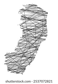
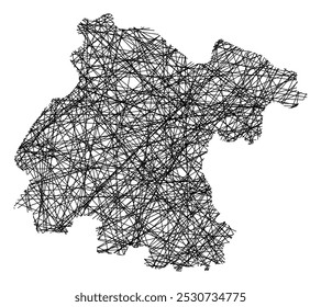
New Mexico Duotone Staaten PNG-Design
Wählen Sie einen Ordner
Alle Favoriten
Neu erstellen
Speichern
New Mexico Duotone Staaten PNG-Design
Maine geometrische Zustände PNG-Design
Wählen Sie einen Ordner
Alle Favoriten
Neu erstellen
Speichern
Maine geometrische Zustände PNG-Design
USA Unabhängigkeitstag Elemente Vintage - 9 PNG-Design
Wählen Sie einen Ordner
Alle Favoriten
Neu erstellen
Speichern
USA Unabhängigkeitstag Elemente Vintage - 9 PNG-Design
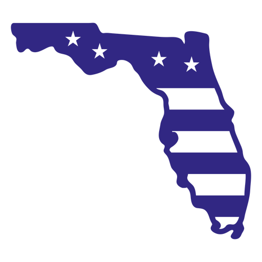
Florida-Duotone-Staaten PNG-Design
Wählen Sie einen Ordner
Alle Favoriten
Neu erstellen
Speichern
Florida-Duotone-Staaten PNG-Design
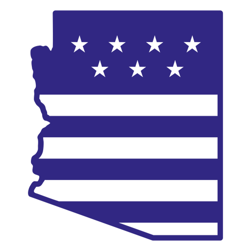
Arizona-Duotone-Staaten PNG-Design
Wählen Sie einen Ordner
Alle Favoriten
Neu erstellen
Speichern
Arizona-Duotone-Staaten PNG-Design
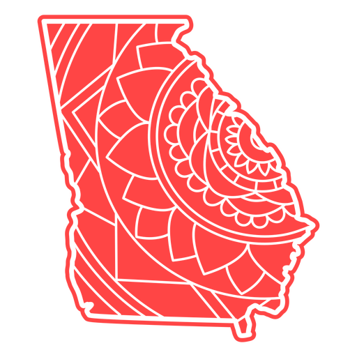
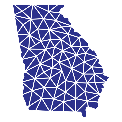
Georgia Mandala Staaten PNG-Design
Wählen Sie einen Ordner
Alle Favoriten
Neu erstellen
Speichern
Georgia Mandala Staaten PNG-Design
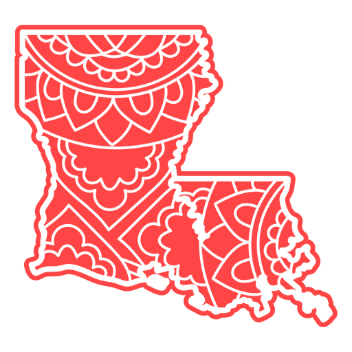
Louisiana-Mandala-Staaten PNG-Design
Wählen Sie einen Ordner
Alle Favoriten
Neu erstellen
Speichern
Louisiana-Mandala-Staaten PNG-Design
Wimpel vereinigten Staaten PNG-Design
Wählen Sie einen Ordner
Alle Favoriten
Neu erstellen
Speichern
Wimpel vereinigten Staaten PNG-Design
Premium
USA-Kapitol-Strichsymbol PNG-Design
Wählen Sie einen Ordner
Alle Favoriten
Neu erstellen
Speichern
USA-Kapitol-Strichsymbol PNG-Design
Premium
USA Herz PNG-Design
Wählen Sie einen Ordner
Alle Favoriten
Neu erstellen
Speichern
USA Herz PNG-Design
Premium
Usa politische Pin Abstimmung PNG-Design
Wählen Sie einen Ordner
Alle Favoriten
Neu erstellen
Speichern
Usa politische Pin Abstimmung PNG-Design
Blauer roter USA-Flaggenstern PNG-Design
Wählen Sie einen Ordner
Alle Favoriten
Neu erstellen
Speichern
Blauer roter USA-Flaggenstern PNG-Design
Rundes Stern USA Flaggenetikett PNG-Design
Wählen Sie einen Ordner
Alle Favoriten
Neu erstellen
Speichern
Rundes Stern USA Flaggenetikett PNG-Design
Usa Band Kreisabzeichen PNG-Design
Wählen Sie einen Ordner
Alle Favoriten
Neu erstellen
Speichern
Usa Band Kreisabzeichen PNG-Design
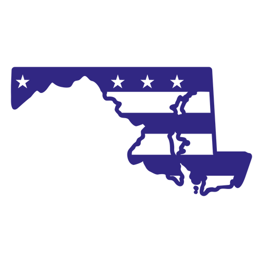
Maryland-Duotone-Staaten PNG-Design
Wählen Sie einen Ordner
Alle Favoriten
Neu erstellen
Speichern
Maryland-Duotone-Staaten PNG-Design
Michigan-Duotone-Staaten PNG-Design
Wählen Sie einen Ordner
Alle Favoriten
Neu erstellen
Speichern
Michigan-Duotone-Staaten PNG-Design
Georgia geometrische Staaten PNG-Design
Wählen Sie einen Ordner
Alle Favoriten
Neu erstellen
Speichern
Georgia geometrische Staaten PNG-Design
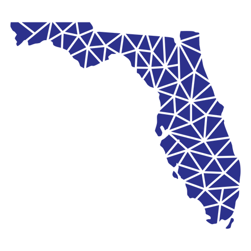
Geometrische Zustände Floridas PNG-Design
Wählen Sie einen Ordner
Alle Favoriten
Neu erstellen
Speichern
Geometrische Zustände Floridas PNG-Design
4. Juli USA Abzeichen Design PNG-Design
Wählen Sie einen Ordner
Alle Favoriten
Neu erstellen
Speichern
4. Juli USA Abzeichen Design PNG-Design
USA Veteranen Tag Wohnung PNG-Design
Wählen Sie einen Ordner
Alle Favoriten
Neu erstellen
Speichern
USA Veteranen Tag Wohnung PNG-Design
USA Wimpel PNG-Design
Wählen Sie einen Ordner
Alle Favoriten
Neu erstellen
Speichern
USA Wimpel PNG-Design
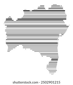
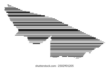
Kartenelement Strichelement der Vereinigten Staaten PNG-Design
Wählen Sie einen Ordner
Alle Favoriten
Neu erstellen
Speichern
Kartenelement Strichelement der Vereinigten Staaten PNG-Design
Star USA Autofahne PNG-Design
Wählen Sie einen Ordner
Alle Favoriten
Neu erstellen
Speichern
Star USA Autofahne PNG-Design
New Hampshire Duotone Staaten PNG-Design
Wählen Sie einen Ordner
Alle Favoriten
Neu erstellen
Speichern
New Hampshire Duotone Staaten PNG-Design
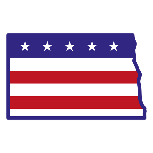
North Dakota-Farbstrichstaaten PNG-Design
Wählen Sie einen Ordner
Alle Favoriten
Neu erstellen
Speichern
North Dakota-Farbstrichstaaten PNG-Design
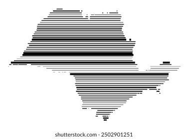
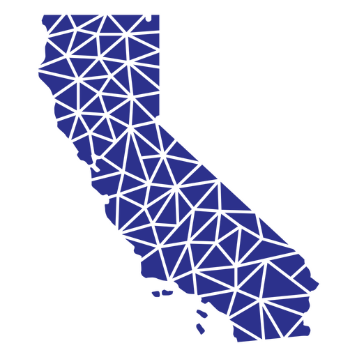
Kalifornische geometrische Staaten PNG-Design
Wählen Sie einen Ordner
Alle Favoriten
Neu erstellen
Speichern
Kalifornische geometrische Staaten PNG-Design
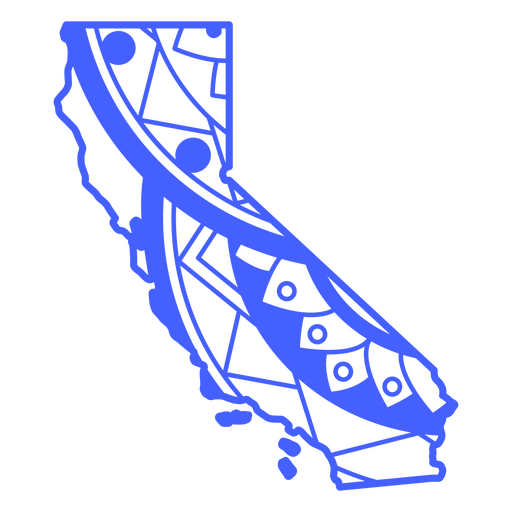
Staaten-Mandala Kalifornien PNG-Design
Wählen Sie einen Ordner
Alle Favoriten
Neu erstellen
Speichern
Staaten-Mandala Kalifornien PNG-Design
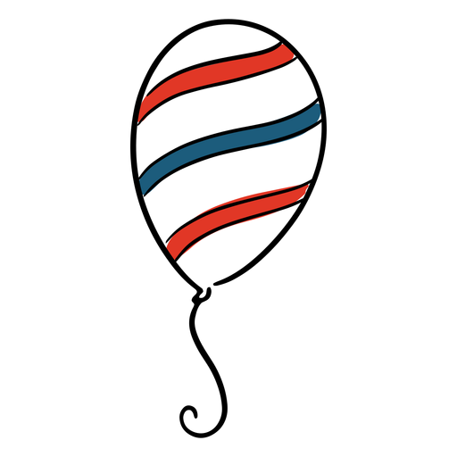
USA Ballon PNG-Design
Wählen Sie einen Ordner
Alle Favoriten
Neu erstellen
Speichern
USA Ballon PNG-Design
Usa Feuerwerk Schlaganfall PNG-Design
Wählen Sie einen Ordner
Alle Favoriten
Neu erstellen
Speichern
Usa Feuerwerk Schlaganfall PNG-Design
Premium
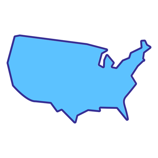
Usa-Silhouette Karte PNG-Design
Wählen Sie einen Ordner
Alle Favoriten
Neu erstellen
Speichern
Usa-Silhouette Karte PNG-Design
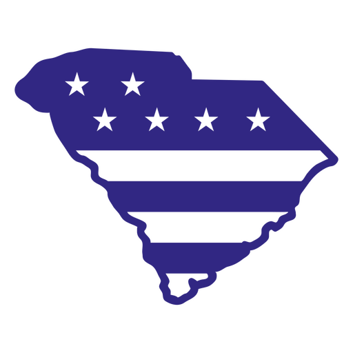
South Carolina Duotone Staaten PNG-Design
Wählen Sie einen Ordner
Alle Favoriten
Neu erstellen
Speichern
South Carolina Duotone Staaten PNG-Design
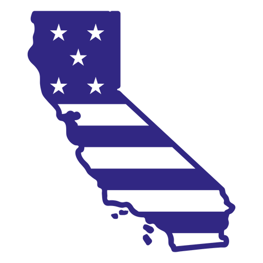
Kalifornische Duotone-Staaten PNG-Design
Wählen Sie einen Ordner
Alle Favoriten
Neu erstellen
Speichern
Kalifornische Duotone-Staaten PNG-Design
Steigere dein Geschäft
Mit der führenden Grafik Plattform für Merch.
PLÄNE SEHEN
Nächste Seite
von 69
prev page
next page