Design-Bibliothek
Neue Merch Designs
T-Shirts
Vektoren
Trendige Merch Designs
PNGs & SVGs
Mockups
T-Shirt PSD-Vorlagen
Entdecken Sie Designs
KDP Designs
Posters
Becher
Handytaschen
Tragetaschen
Kopfkissen
Design-Tools
Merch Designer
Neu!
Mockup Generator
Ki-Design-Generator
Vektorisierer
Quote Generator
T-Shirt Maker (alt)
Hilfe
Merch Digest
Blog
Hilfezentrum
Über Merch erfahren
Feedback
Unternehmenslösungen
Unternehmen
API-Zugriff
Designstudio
Massendesign-Produktion
Preise
Loading...
Registrieren
Einloggen
All
estados
Design-Bibliothek
Neue Merch Designs
T-Shirts
Vektoren
Trendige Merch Designs
PNGs & SVGs
Mockups
T-Shirt PSD-Vorlagen
Entdecken Sie Designs
KDP Designs
Posters
Becher
Handytaschen
Tragetaschen
Kopfkissen
Design-Tools
Merch Designer
Neu!
Mockup Generator
Ki-Design-Generator
Vektorisierer
Quote Generator
T-Shirt Maker (alt)
Hilfe
Merch Digest
Blog
Hilfezentrum
Über Merch erfahren
Feedback
Unternehmenslösungen
Unternehmen
API-Zugriff
Designstudio
Massendesign-Produktion
PLÄNE
All
estados
3410 estados Grafikendesigns für T-Shirt und Print On Demand Merch
Downloade estados T-Shirt Designs und andere Merch-Grafiken wie Buchcovers, Handyhüllen, Tragetaschen und mehr.
Sortieren nach
Am wichtigsten
Gesponserte Ergebnisse von
Erhalten Sie 15% Rabatt mit dem Code: VEXELS15
Details anzeigen
USA patriotisches Abzeichen PNG-Design
Wählen Sie einen Ordner
Alle Favoriten
Neu erstellen
Speichern
USA patriotisches Abzeichen PNG-Design
Premium
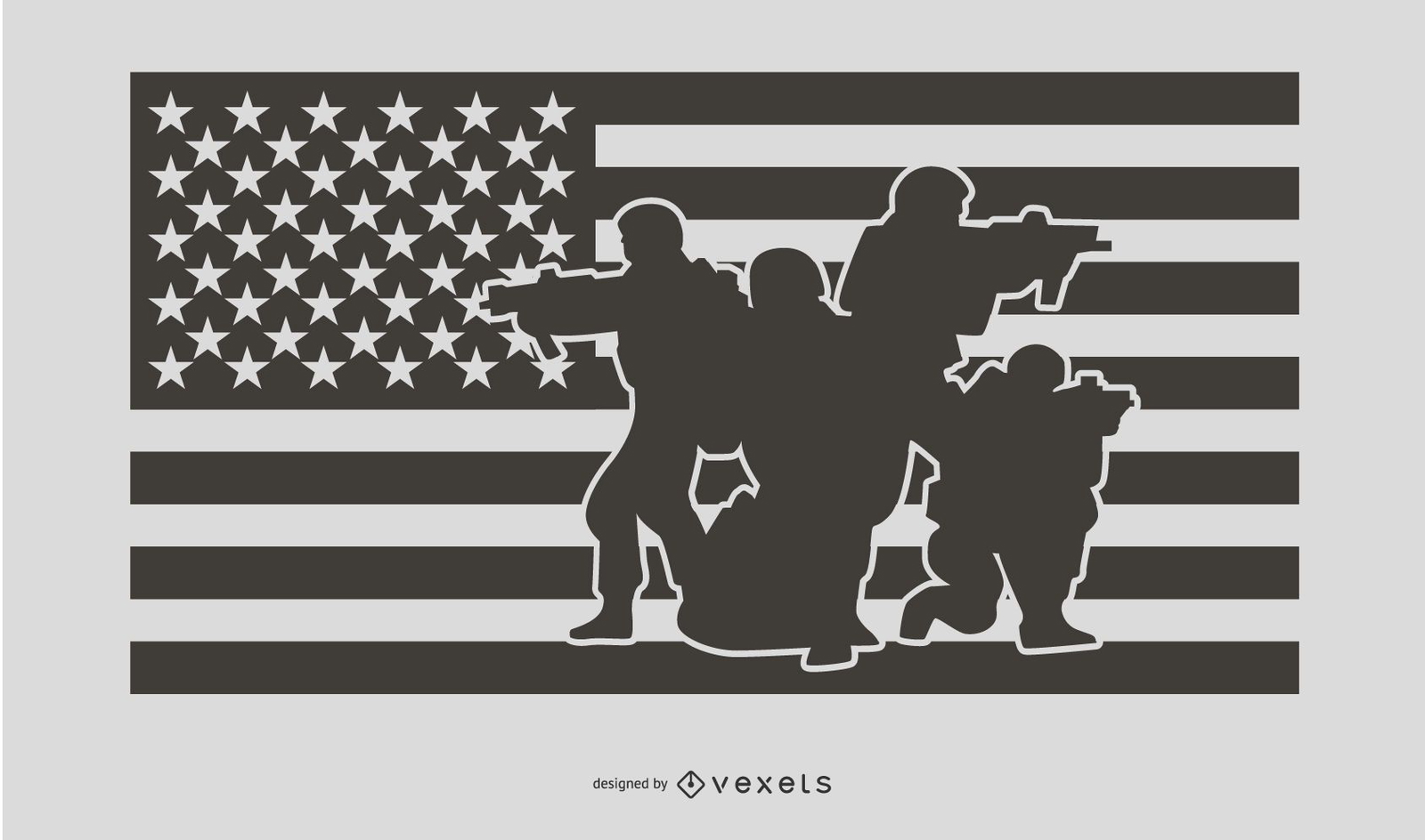
USA Flag Military People Silhouette Design
Wählen Sie einen Ordner
Alle Favoriten
Neu erstellen
Speichern
USA Flag Military People Silhouette Design
Druckfertig
Merch
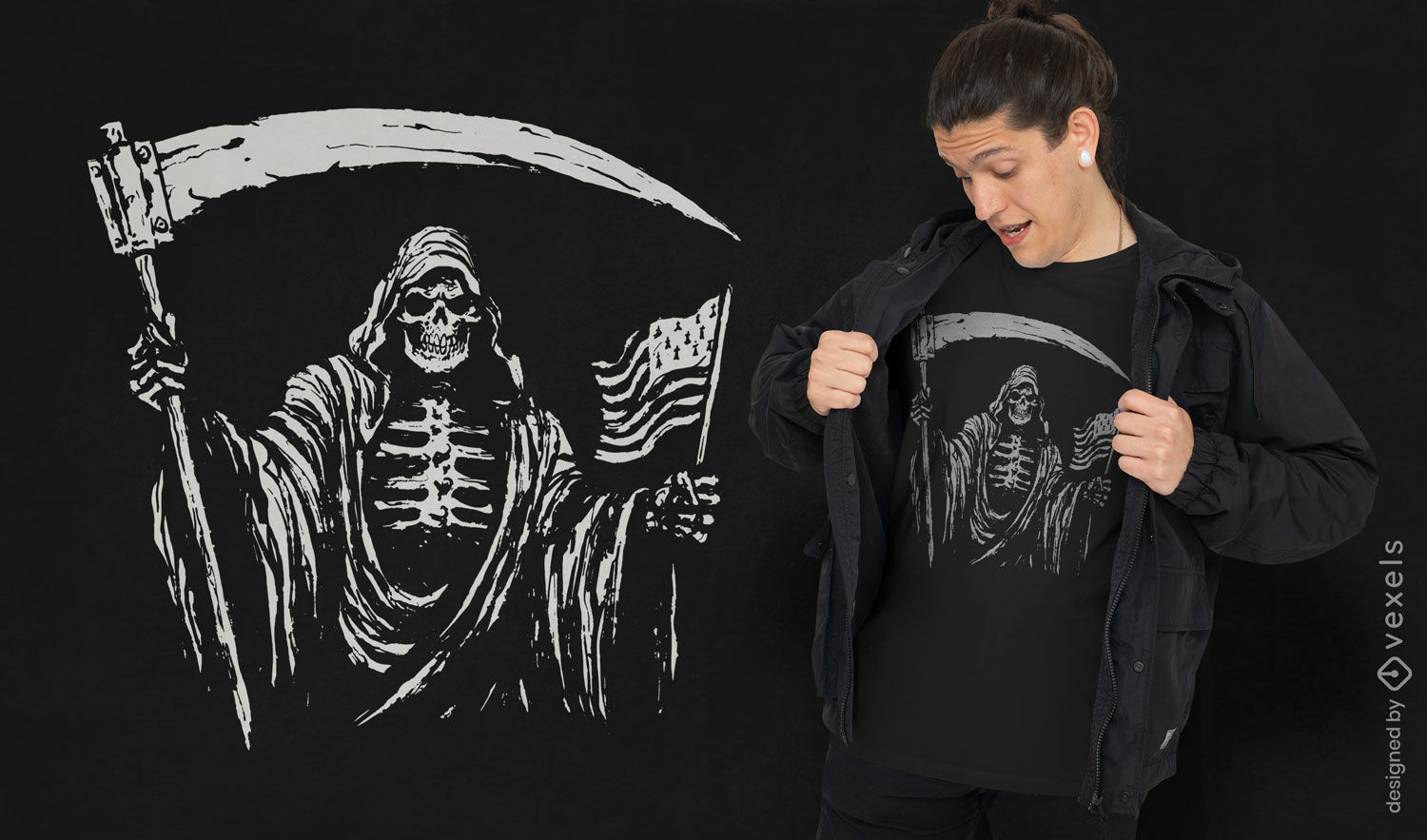
Sensenmann-T-Shirt-Design mit USA-Flagge
Wählen Sie einen Ordner
Alle Favoriten
Neu erstellen
Speichern
Sensenmann-T-Shirt-Design mit USA-Flagge
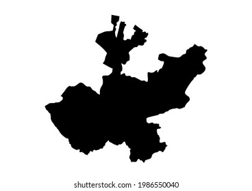
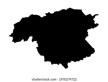
Wyoming-Farbstrichzustände PNG-Design
Wählen Sie einen Ordner
Alle Favoriten
Neu erstellen
Speichern
Wyoming-Farbstrichzustände PNG-Design
Usa Flagge fliegender Adler PNG-Design
Wählen Sie einen Ordner
Alle Favoriten
Neu erstellen
Speichern
Usa Flagge fliegender Adler PNG-Design
Editierbarer Text
Druckfertig
Merch
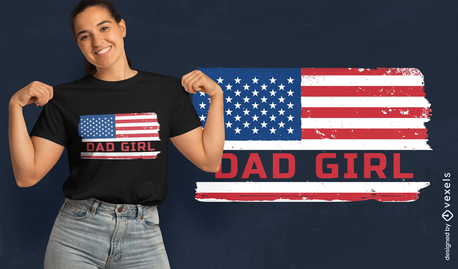
Papa-Mädchen-T-Shirt-Design mit US-Flagge
Wählen Sie einen Ordner
Alle Favoriten
Neu erstellen
Speichern
Papa-Mädchen-T-Shirt-Design mit US-Flagge
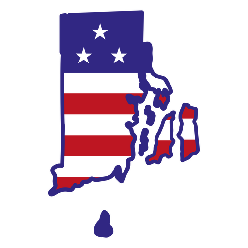
Rhode Island-Farbstrichzustände PNG-Design
Wählen Sie einen Ordner
Alle Favoriten
Neu erstellen
Speichern
Rhode Island-Farbstrichzustände PNG-Design
Kentucky-Farbstrichzustände PNG-Design
Wählen Sie einen Ordner
Alle Favoriten
Neu erstellen
Speichern
Kentucky-Farbstrichzustände PNG-Design
Premium
Chicago USA Skyline Design
Wählen Sie einen Ordner
Alle Favoriten
Neu erstellen
Speichern
Chicago USA Skyline Design
Premium
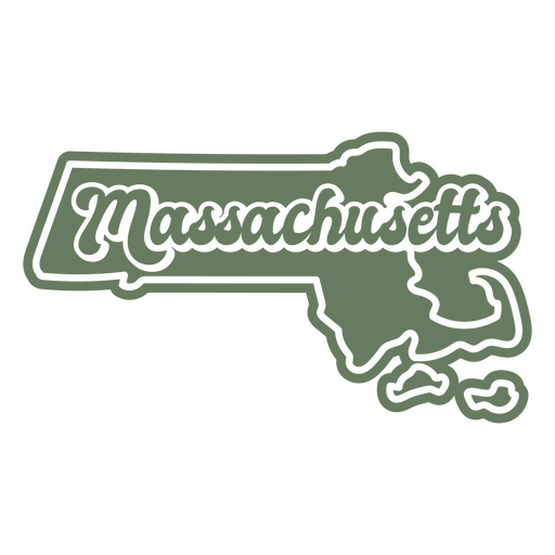
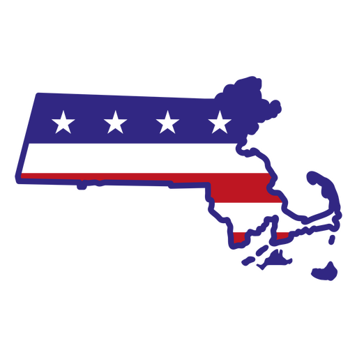
Massachusetts Retro ausgeschnittene Staaten USA PNG-Design
Wählen Sie einen Ordner
Alle Favoriten
Neu erstellen
Speichern
Massachusetts Retro ausgeschnittene Staaten USA PNG-Design
Premium
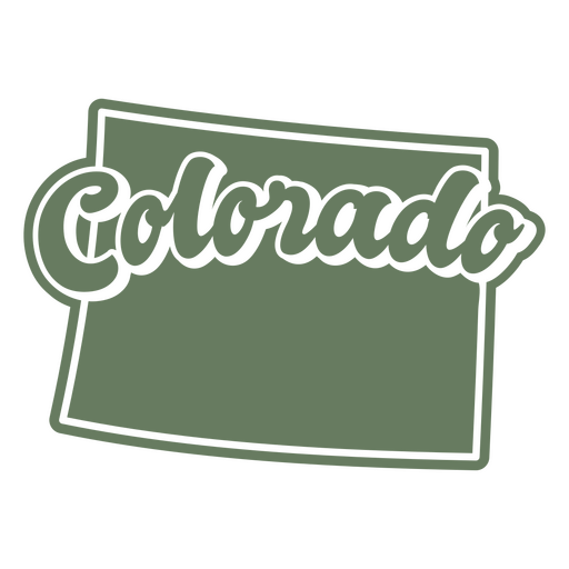
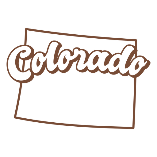
Colorado retro ausgeschnitten usa staaten PNG-Design
Wählen Sie einen Ordner
Alle Favoriten
Neu erstellen
Speichern
Colorado retro ausgeschnitten usa staaten PNG-Design
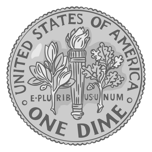
Münze Abbildung Groschenschwanz usa PNG-Design
Wählen Sie einen Ordner
Alle Favoriten
Neu erstellen
Speichern
Münze Abbildung Groschenschwanz usa PNG-Design
Staaten beschriften Pennsylvania PNG-Design
Wählen Sie einen Ordner
Alle Favoriten
Neu erstellen
Speichern
Staaten beschriften Pennsylvania PNG-Design
Staaten, die Mississippi beschriften PNG-Design
Wählen Sie einen Ordner
Alle Favoriten
Neu erstellen
Speichern
Staaten, die Mississippi beschriften PNG-Design
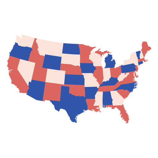
Landkarte der Vereinigten Staaten PNG-Design
Wählen Sie einen Ordner
Alle Favoriten
Neu erstellen
Speichern
Landkarte der Vereinigten Staaten PNG-Design
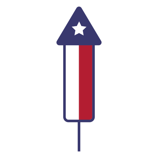
Usa Feuerwerk flach PNG-Design
Wählen Sie einen Ordner
Alle Favoriten
Neu erstellen
Speichern
Usa Feuerwerk flach PNG-Design
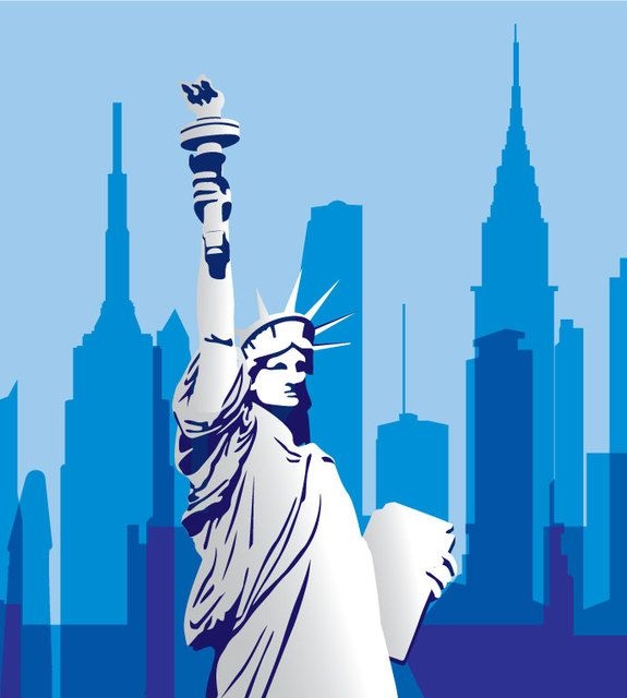
USA Monument Stadtbild
Wählen Sie einen Ordner
Alle Favoriten
Neu erstellen
Speichern
USA Monument Stadtbild
Premium
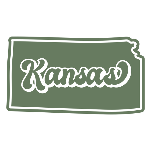
Kansas Retro ausgeschnittene Staaten USA PNG-Design
Wählen Sie einen Ordner
Alle Favoriten
Neu erstellen
Speichern
Kansas Retro ausgeschnittene Staaten USA PNG-Design
Premium
Wyoming, das usa-staaten beschriftet PNG-Design
Wählen Sie einen Ordner
Alle Favoriten
Neu erstellen
Speichern
Wyoming, das usa-staaten beschriftet PNG-Design
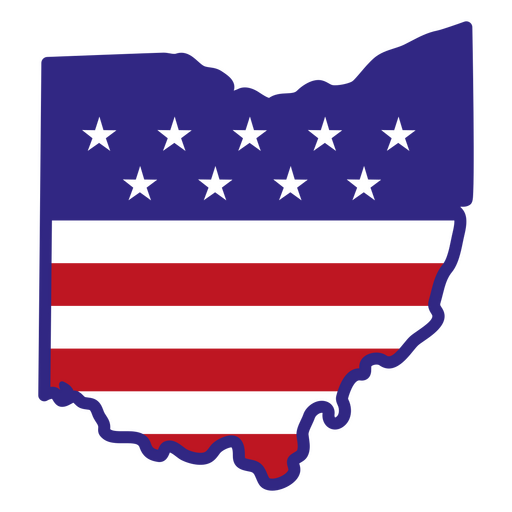
Ohio-Farbstrichzustände PNG-Design
Wählen Sie einen Ordner
Alle Favoriten
Neu erstellen
Speichern
Ohio-Farbstrichzustände PNG-Design
Premium
Nationalflagge der Föderierten Staaten von Mikronesien PNG-Design
Wählen Sie einen Ordner
Alle Favoriten
Neu erstellen
Speichern
Nationalflagge der Föderierten Staaten von Mikronesien PNG-Design
Banddreieck USA Flaggenfahne PNG-Design
Wählen Sie einen Ordner
Alle Favoriten
Neu erstellen
Speichern
Banddreieck USA Flaggenfahne PNG-Design
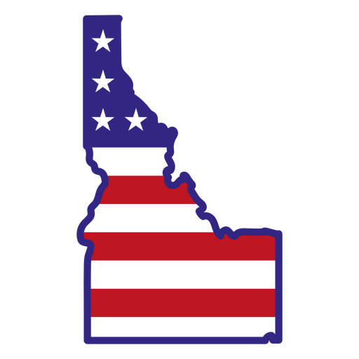
Staaten, die idaho beschriften PNG-Design
Wählen Sie einen Ordner
Alle Favoriten
Neu erstellen
Speichern
Staaten, die idaho beschriften PNG-Design
Premium
Retro-Sonnenuntergang Idahos schnitt US-Staaten aus PNG-Design
Wählen Sie einen Ordner
Alle Favoriten
Neu erstellen
Speichern
Retro-Sonnenuntergang Idahos schnitt US-Staaten aus PNG-Design
Premium
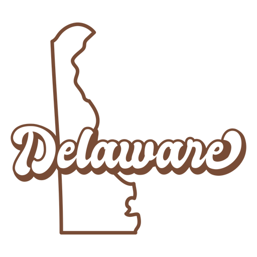
Delaware Retro-Strich USA-Staaten PNG-Design
Wählen Sie einen Ordner
Alle Favoriten
Neu erstellen
Speichern
Delaware Retro-Strich USA-Staaten PNG-Design
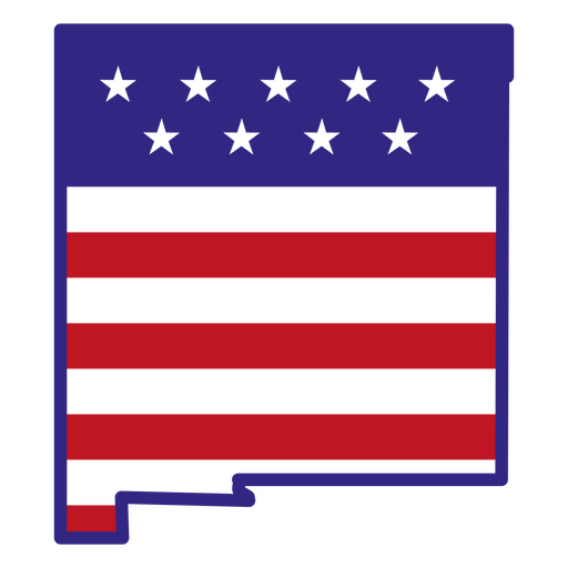
New Mexico Farbstrichzustände PNG-Design
Wählen Sie einen Ordner
Alle Favoriten
Neu erstellen
Speichern
New Mexico Farbstrichzustände PNG-Design
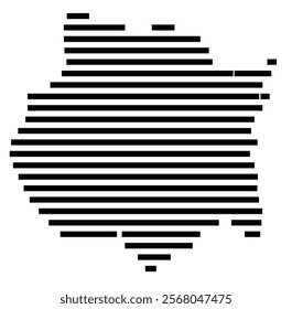
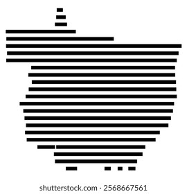
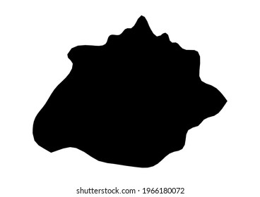
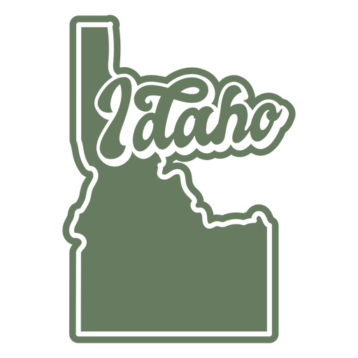
Idaho-Farbstrichzustände PNG-Design
Wählen Sie einen Ordner
Alle Favoriten
Neu erstellen
Speichern
Idaho-Farbstrichzustände PNG-Design
Staaten, die iowa beschriften PNG-Design
Wählen Sie einen Ordner
Alle Favoriten
Neu erstellen
Speichern
Staaten, die iowa beschriften PNG-Design
Premium
Usa Flagge Abzeichen PNG-Design
Wählen Sie einen Ordner
Alle Favoriten
Neu erstellen
Speichern
Usa Flagge Abzeichen PNG-Design
Premium
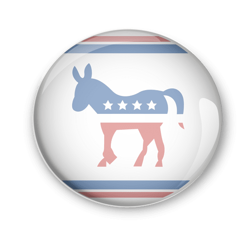
Politische Abstimmung der US-Demokraten PNG-Design
Wählen Sie einen Ordner
Alle Favoriten
Neu erstellen
Speichern
Politische Abstimmung der US-Demokraten PNG-Design
Premium
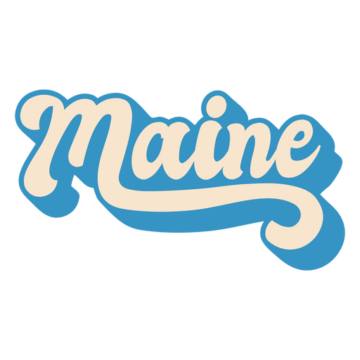
Maine, der usa-staaten beschriftet PNG-Design
Wählen Sie einen Ordner
Alle Favoriten
Neu erstellen
Speichern
Maine, der usa-staaten beschriftet PNG-Design
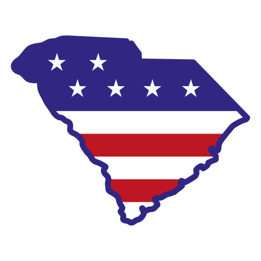
Farbstrichzustände in South Carolina PNG-Design
Wählen Sie einen Ordner
Alle Favoriten
Neu erstellen
Speichern
Farbstrichzustände in South Carolina PNG-Design
Massachusetts-Farbstrichstaaten PNG-Design
Wählen Sie einen Ordner
Alle Favoriten
Neu erstellen
Speichern
Massachusetts-Farbstrichstaaten PNG-Design
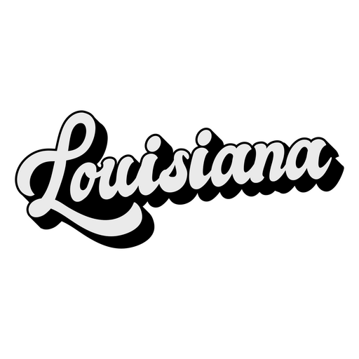
Staaten, die Louisiana beschriften PNG-Design
Wählen Sie einen Ordner
Alle Favoriten
Neu erstellen
Speichern
Staaten, die Louisiana beschriften PNG-Design
US Capitol ausgeschnitten PNG-Design
Wählen Sie einen Ordner
Alle Favoriten
Neu erstellen
Speichern
US Capitol ausgeschnitten PNG-Design
Premium
Usa Fußballflagge PNG-Design
Wählen Sie einen Ordner
Alle Favoriten
Neu erstellen
Speichern
Usa Fußballflagge PNG-Design
Premium
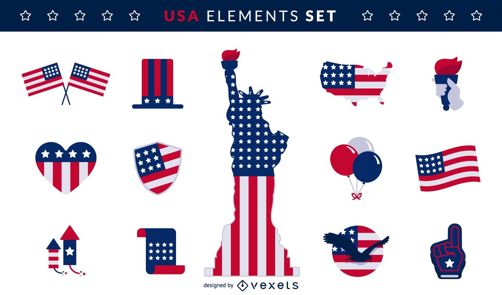
USA-Flaggenelemente gesetzt
Wählen Sie einen Ordner
Alle Favoriten
Neu erstellen
Speichern
USA-Flaggenelemente gesetzt
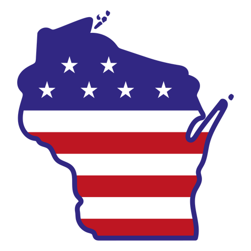
Wisconsin-Farbstrichzustände PNG-Design
Wählen Sie einen Ordner
Alle Favoriten
Neu erstellen
Speichern
Wisconsin-Farbstrichzustände PNG-Design
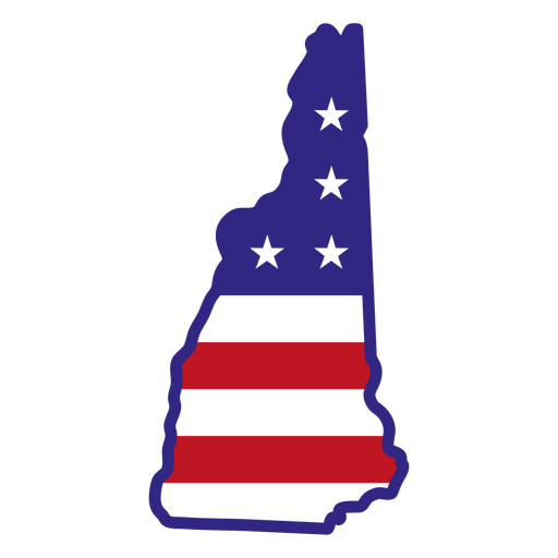
New Hampshire-Farbstrichzustände PNG-Design
Wählen Sie einen Ordner
Alle Favoriten
Neu erstellen
Speichern
New Hampshire-Farbstrichzustände PNG-Design
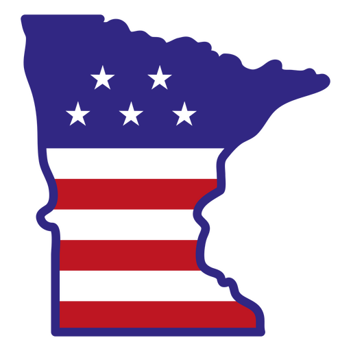
Minnesota-Farbstrichzustände PNG-Design
Wählen Sie einen Ordner
Alle Favoriten
Neu erstellen
Speichern
Minnesota-Farbstrichzustände PNG-Design
Premium
Colorado Retro-Strich USA-Staaten PNG-Design
Wählen Sie einen Ordner
Alle Favoriten
Neu erstellen
Speichern
Colorado Retro-Strich USA-Staaten PNG-Design
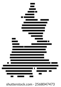
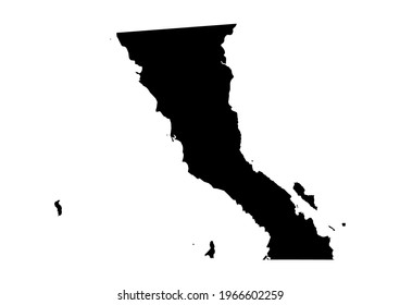
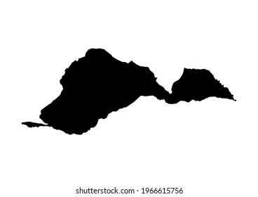
South Dakota usa Kartensilhouette PNG-Design
Wählen Sie einen Ordner
Alle Favoriten
Neu erstellen
Speichern
South Dakota usa Kartensilhouette PNG-Design
Druckfertig
Merch
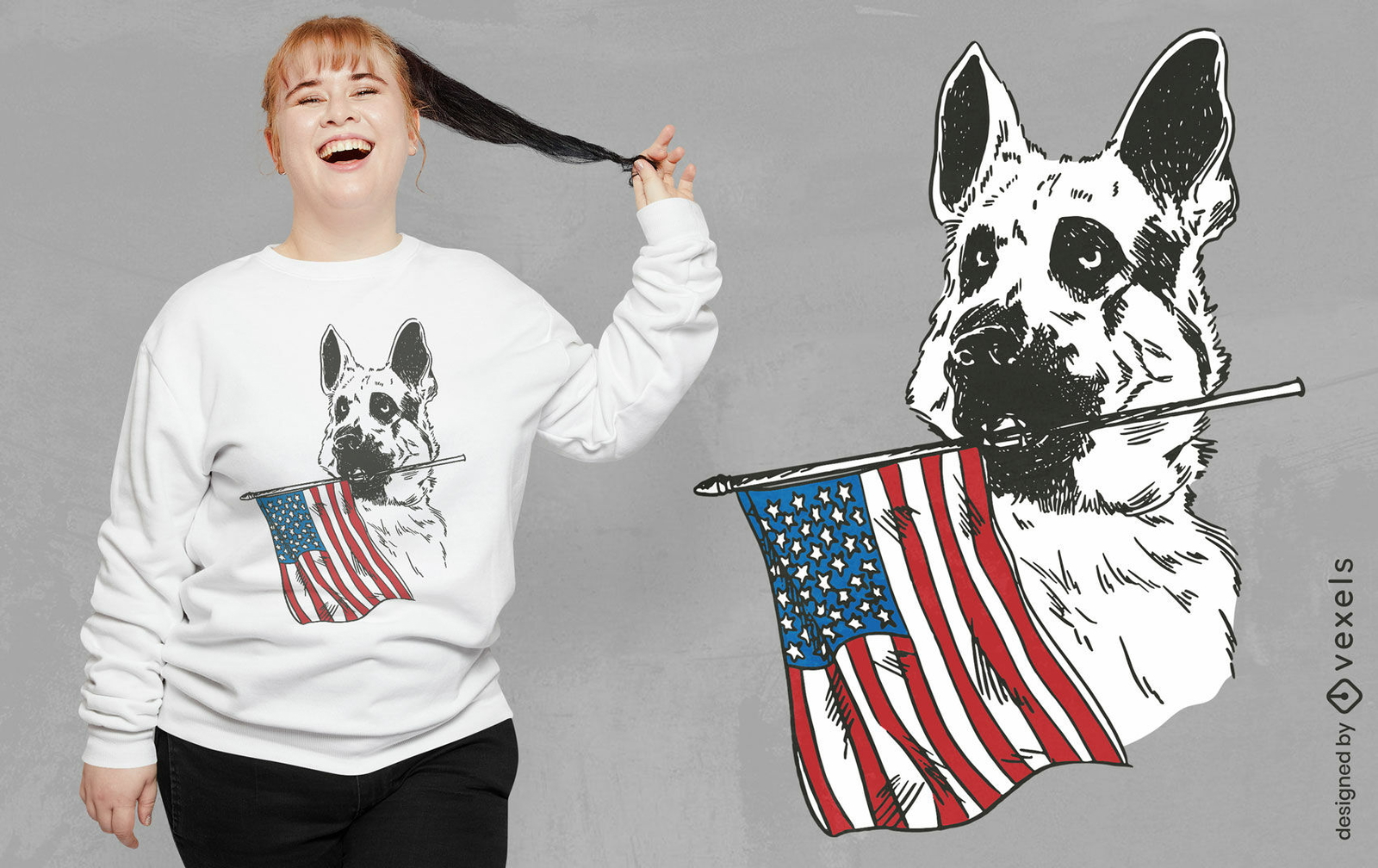
Deutscher schäferhund mit usa-flaggen-t-shirt-design
Wählen Sie einen Ordner
Alle Favoriten
Neu erstellen
Speichern
Deutscher schäferhund mit usa-flaggen-t-shirt-design
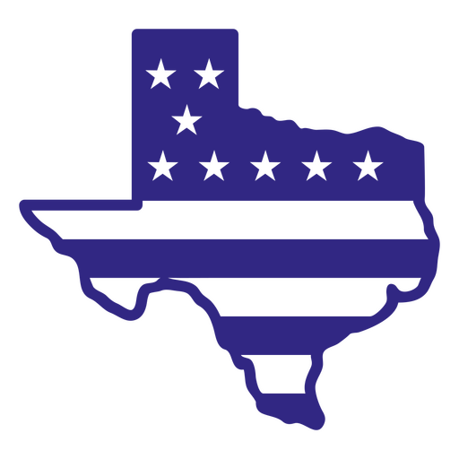
Texas-Duotone-Staaten PNG-Design
Wählen Sie einen Ordner
Alle Favoriten
Neu erstellen
Speichern
Texas-Duotone-Staaten PNG-Design
Colorado-Farbstrichzustände PNG-Design
Wählen Sie einen Ordner
Alle Favoriten
Neu erstellen
Speichern
Colorado-Farbstrichzustände PNG-Design
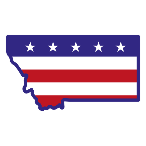
Montana-Farbstrichzustände PNG-Design
Wählen Sie einen Ordner
Alle Favoriten
Neu erstellen
Speichern
Montana-Farbstrichzustände PNG-Design
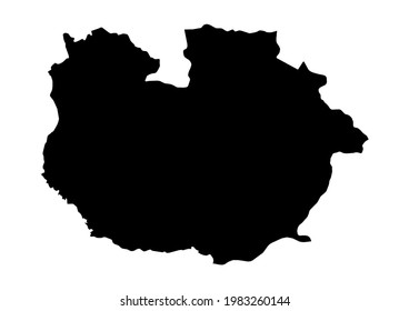
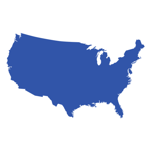
US-Kartensilhouette PNG-Design
Wählen Sie einen Ordner
Alle Favoriten
Neu erstellen
Speichern
US-Kartensilhouette PNG-Design
Gebogenes gefaltetes USA-Band PNG-Design
Wählen Sie einen Ordner
Alle Favoriten
Neu erstellen
Speichern
Gebogenes gefaltetes USA-Band PNG-Design
Premium
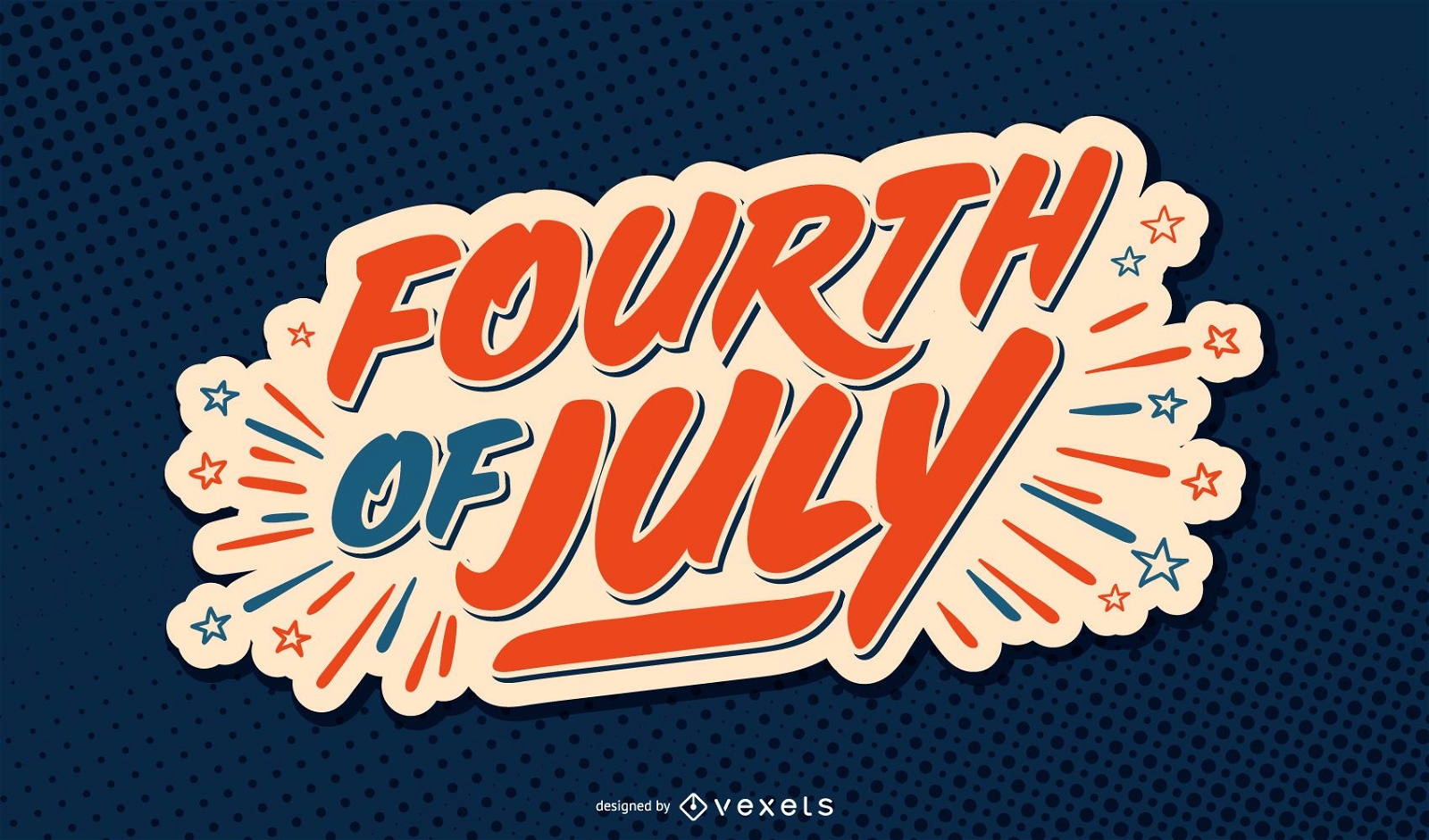
4. Juli USA Schriftzug
Wählen Sie einen Ordner
Alle Favoriten
Neu erstellen
Speichern
4. Juli USA Schriftzug
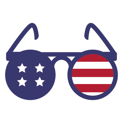
Usa Flagge in runden Gläsern flach PNG-Design
Wählen Sie einen Ordner
Alle Favoriten
Neu erstellen
Speichern
Usa Flagge in runden Gläsern flach PNG-Design
Steigere dein Geschäft
Mit der führenden Grafik Plattform für Merch.
PLÄNE SEHEN
Nächste Seite
von 69
prev page
next page