Design-Bibliothek
Neue Merch Designs
T-Shirts
Vektoren
Trendige Merch Designs
PNGs & SVGs
Mockups
T-Shirt PSD-Vorlagen
Entdecken Sie Designs
KDP Designs
Posters
Becher
Handytaschen
Tragetaschen
Kopfkissen
Design-Tools
Merch Designer
Neu!
Mockup Generator
Ki-Design-Generator
Vektorisierer
Quote Generator
T-Shirt Maker (alt)
Hilfe
Merch Digest
Blog
Hilfezentrum
Über Merch erfahren
Feedback
Unternehmenslösungen
Unternehmen
API-Zugriff
Designstudio
Massendesign-Produktion
Preise
Loading...
Registrieren
Einloggen
All
ciudad
Design-Bibliothek
Neue Merch Designs
T-Shirts
Vektoren
Trendige Merch Designs
PNGs & SVGs
Mockups
T-Shirt PSD-Vorlagen
Entdecken Sie Designs
KDP Designs
Posters
Becher
Handytaschen
Tragetaschen
Kopfkissen
Design-Tools
Merch Designer
Neu!
Mockup Generator
Ki-Design-Generator
Vektorisierer
Quote Generator
T-Shirt Maker (alt)
Hilfe
Merch Digest
Blog
Hilfezentrum
Über Merch erfahren
Feedback
Unternehmenslösungen
Unternehmen
API-Zugriff
Designstudio
Massendesign-Produktion
PLÄNE
All
ciudad
2214 ciudad Grafikendesigns für T-Shirt und Print On Demand Merch
Downloade ciudad T-Shirt Designs und andere Merch-Grafiken wie Buchcovers, Handyhüllen, Tragetaschen und mehr.
Sortieren nach
Am wichtigsten
Gesponserte Ergebnisse von
Erhalten Sie 15% Rabatt mit dem Code: VEXELS15
Details anzeigen
La Défense Paris Skyline Hintergrund
Wählen Sie einen Ordner
Alle Favoriten
Neu erstellen
Speichern
La Défense Paris Skyline Hintergrund
New Yorker Skyline am 4. Juli Gedenken
Wählen Sie einen Ordner
Alle Favoriten
Neu erstellen
Speichern
New Yorker Skyline am 4. Juli Gedenken
20-Transport-GraphicIcon-2-Vinyl - 7 PNG-Design
Wählen Sie einen Ordner
Alle Favoriten
Neu erstellen
Speichern
20-Transport-GraphicIcon-2-Vinyl - 7 PNG-Design
Druckfertig
Merch
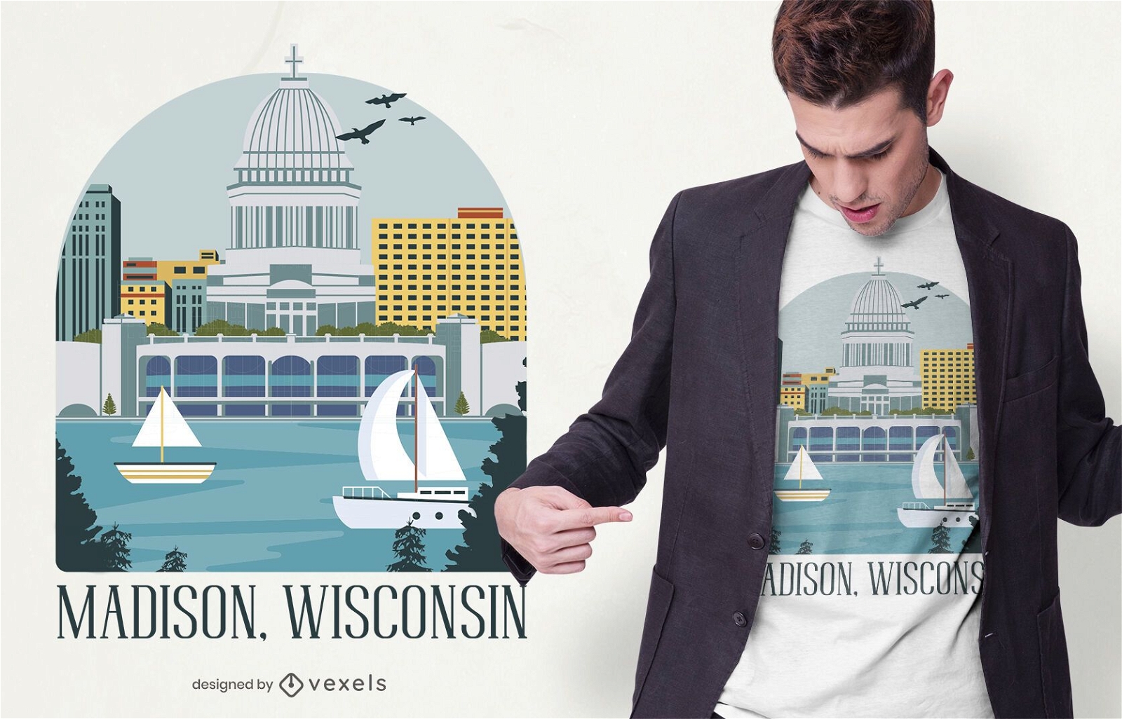
Madison Wisconsin T-Shirt Design
Wählen Sie einen Ordner
Alle Favoriten
Neu erstellen
Speichern
Madison Wisconsin T-Shirt Design
Druckfertig
Merch
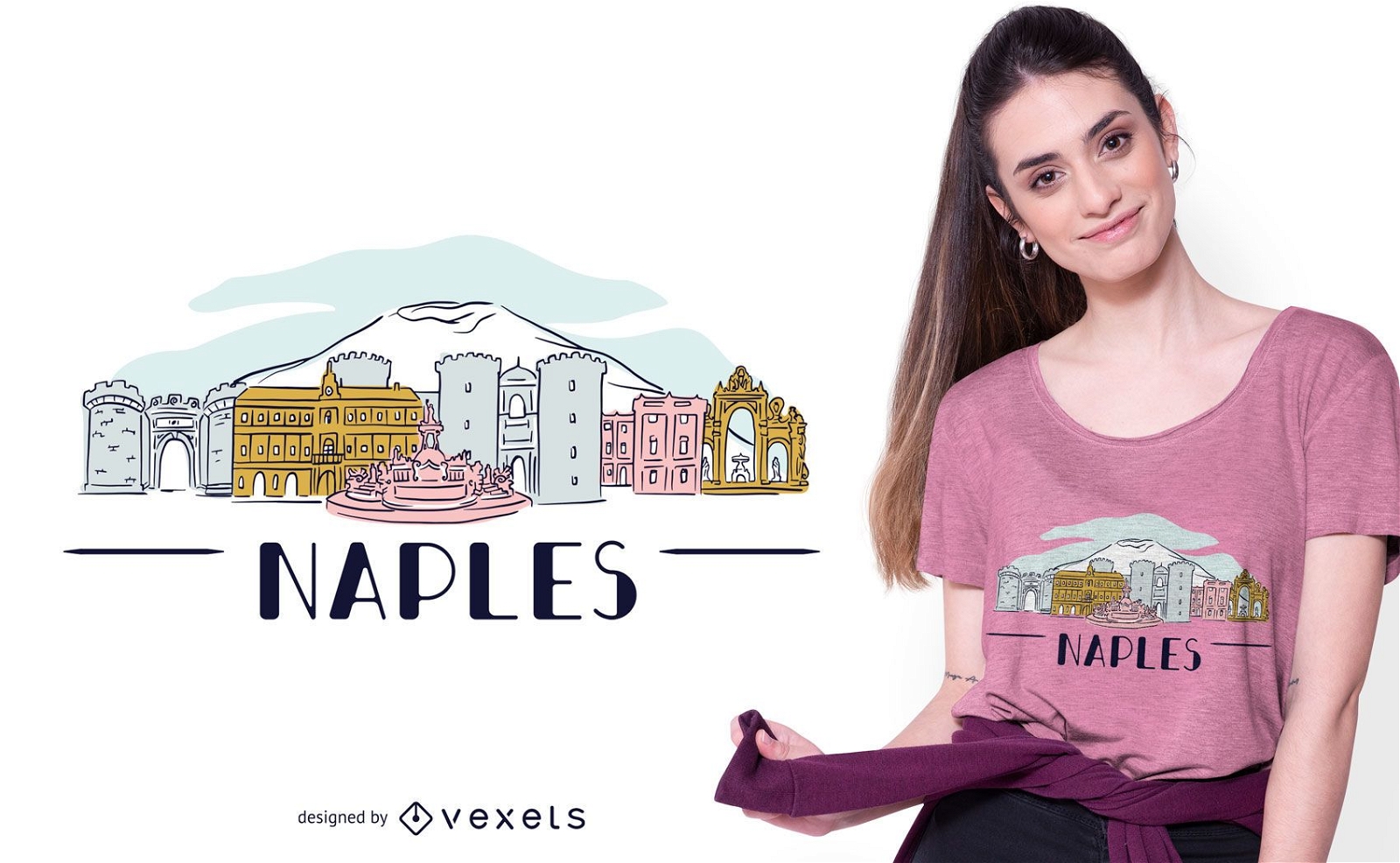
Neapel Skyline T-Shirt Design
Wählen Sie einen Ordner
Alle Favoriten
Neu erstellen
Speichern
Neapel Skyline T-Shirt Design
Druckfertig
Merch
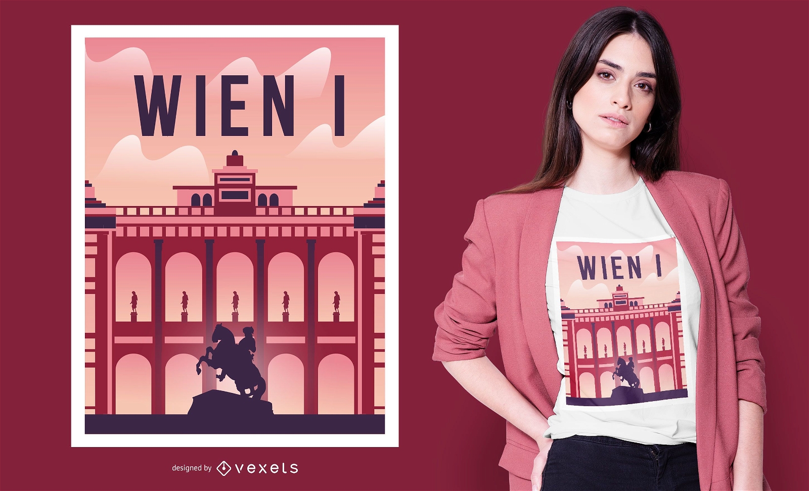
Wiener Palast T-Shirt Design
Wählen Sie einen Ordner
Alle Favoriten
Neu erstellen
Speichern
Wiener Palast T-Shirt Design
Detaillierte Silhouette-Architektur des Schlosspalastturmtor-Dachkuppels PNG-Design
Wählen Sie einen Ordner
Alle Favoriten
Neu erstellen
Speichern
Detaillierte Silhouette-Architektur des Schlosspalastturmtor-Dachkuppels PNG-Design
Premium
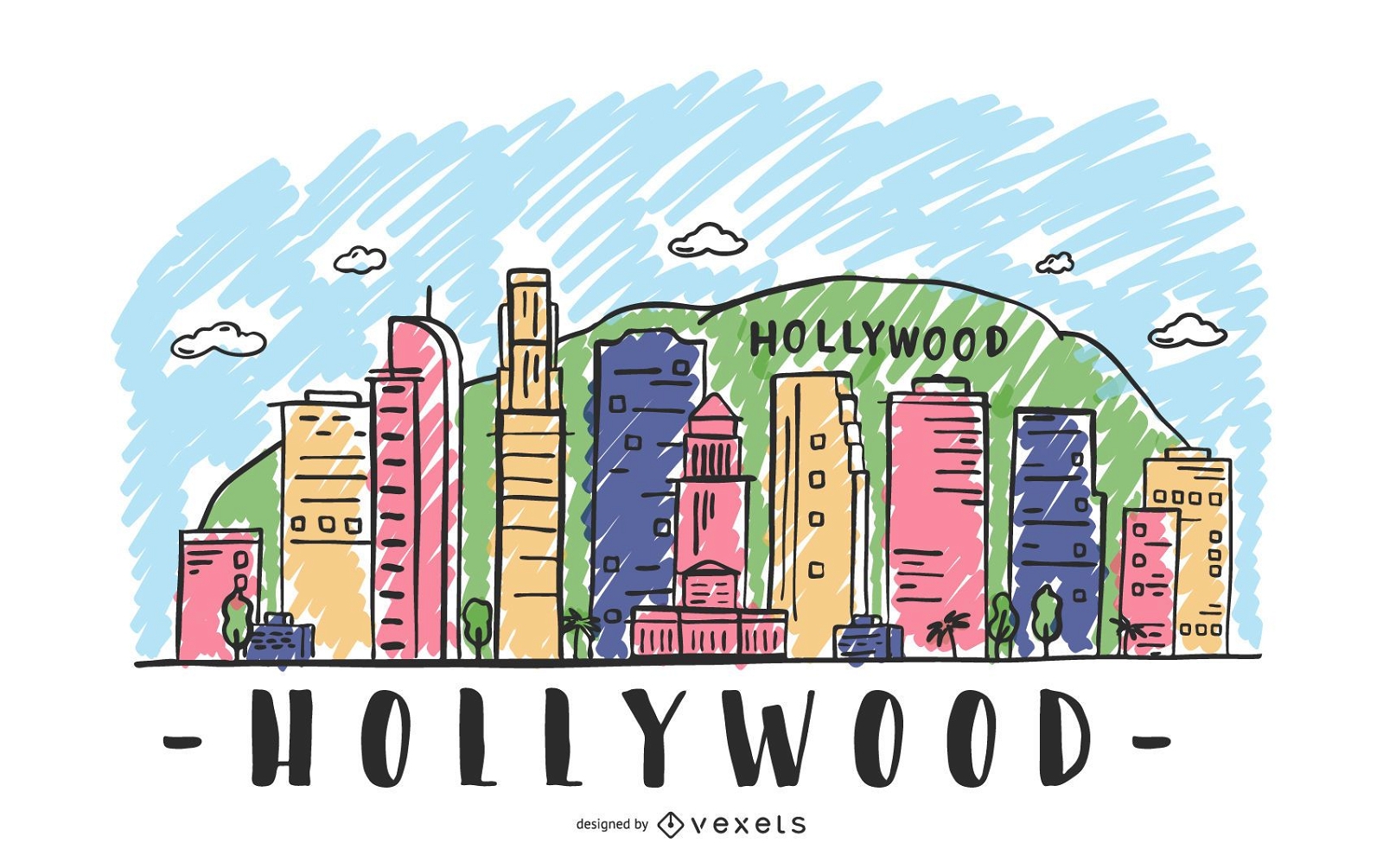
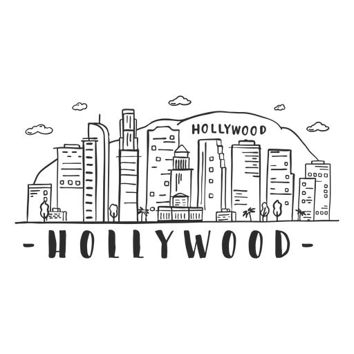
Hollywood Skyline Illustration
Wählen Sie einen Ordner
Alle Favoriten
Neu erstellen
Speichern
Hollywood Skyline Illustration
Premium
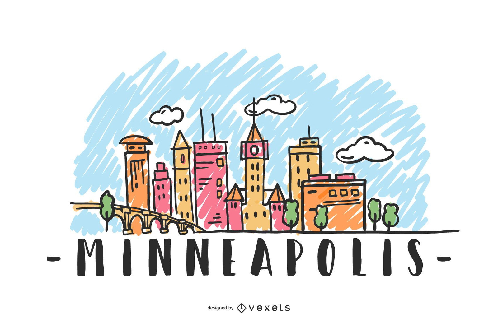
Minneapolis USA Skyline Design
Wählen Sie einen Ordner
Alle Favoriten
Neu erstellen
Speichern
Minneapolis USA Skyline Design
Premium
Hollywood Hill Mountain Bridge Tower Skyline Aufkleber PNG-Design
Wählen Sie einen Ordner
Alle Favoriten
Neu erstellen
Speichern
Hollywood Hill Mountain Bridge Tower Skyline Aufkleber PNG-Design
Premium
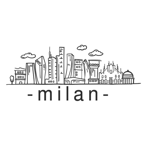
Mailänder Skyline-Aufkleber PNG-Design
Wählen Sie einen Ordner
Alle Favoriten
Neu erstellen
Speichern
Mailänder Skyline-Aufkleber PNG-Design
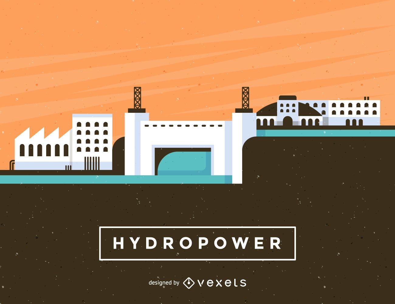
Wasserkraftwerk Abbildung
Wählen Sie einen Ordner
Alle Favoriten
Neu erstellen
Speichern
Wasserkraftwerk Abbildung
Premium
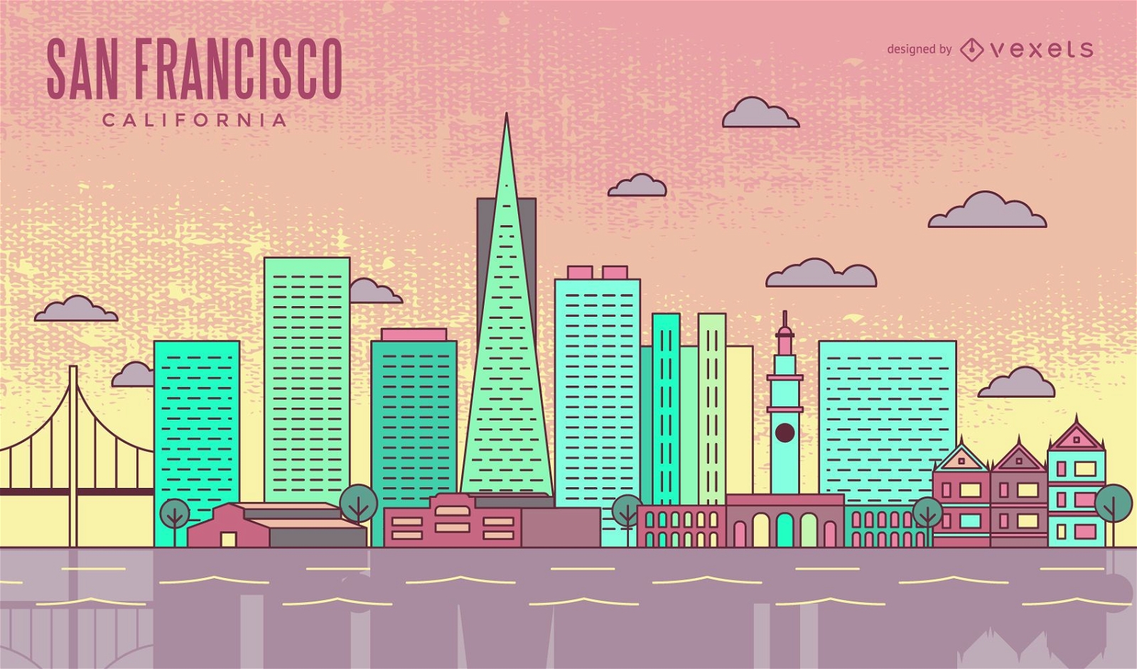
Bunte San Francisco Strich-Skyline
Wählen Sie einen Ordner
Alle Favoriten
Neu erstellen
Speichern
Bunte San Francisco Strich-Skyline
Premium
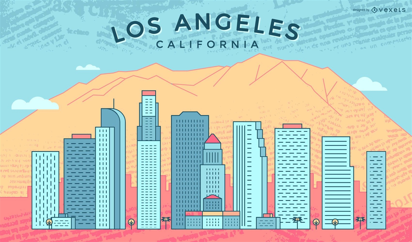
Bunte Los Angeles Strich Skyline
Wählen Sie einen Ordner
Alle Favoriten
Neu erstellen
Speichern
Bunte Los Angeles Strich Skyline
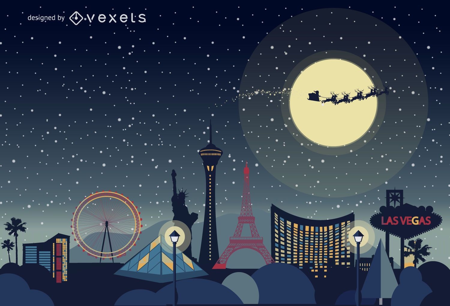
Las Vegas Weihnachts-Skyline
Wählen Sie einen Ordner
Alle Favoriten
Neu erstellen
Speichern
Las Vegas Weihnachts-Skyline
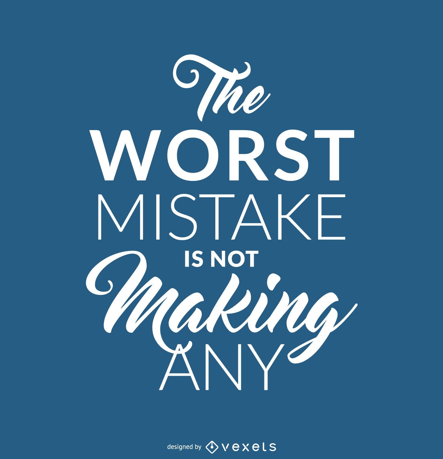
Hipster-Fehler blaues Zitat
Wählen Sie einen Ordner
Alle Favoriten
Neu erstellen
Speichern
Hipster-Fehler blaues Zitat
Grüne Energiebaumikonen
Wählen Sie einen Ordner
Alle Favoriten
Neu erstellen
Speichern
Grüne Energiebaumikonen
Frankreich USA Brasilien Wahrzeichen Karten
Wählen Sie einen Ordner
Alle Favoriten
Neu erstellen
Speichern
Frankreich USA Brasilien Wahrzeichen Karten
Hintergrund der Weltdenkmälerschattenbilder
Wählen Sie einen Ordner
Alle Favoriten
Neu erstellen
Speichern
Hintergrund der Weltdenkmälerschattenbilder
Premium
Dortmunder Skyline PNG-Design
Wählen Sie einen Ordner
Alle Favoriten
Neu erstellen
Speichern
Dortmunder Skyline PNG-Design
Premium
Silhouette des Kathedralengebäudes PNG-Design
Wählen Sie einen Ordner
Alle Favoriten
Neu erstellen
Speichern
Silhouette des Kathedralengebäudes PNG-Design
PSD-Mockup
Premium
Paar geht auf Straßen-Sweatshirt-Modell
Wählen Sie einen Ordner
Alle Favoriten
Neu erstellen
Speichern
Paar geht auf Straßen-Sweatshirt-Modell
Druckfertig
Merch
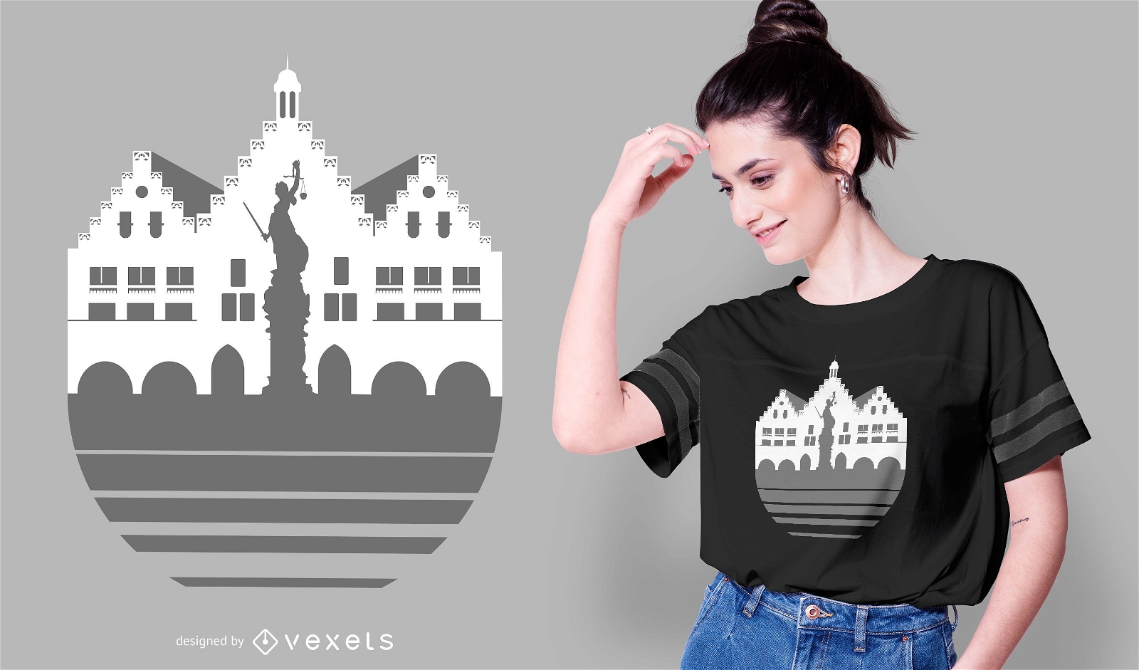
Frankfurt Skyline T-Shirt Design
Wählen Sie einen Ordner
Alle Favoriten
Neu erstellen
Speichern
Frankfurt Skyline T-Shirt Design
Premium
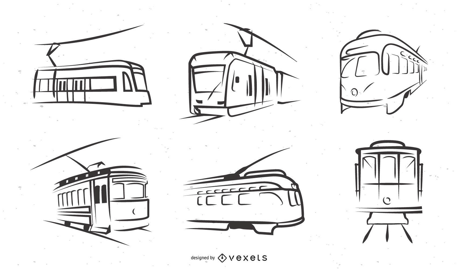
Trolley Car Line Art Illustration Set
Wählen Sie einen Ordner
Alle Favoriten
Neu erstellen
Speichern
Trolley Car Line Art Illustration Set
Premium
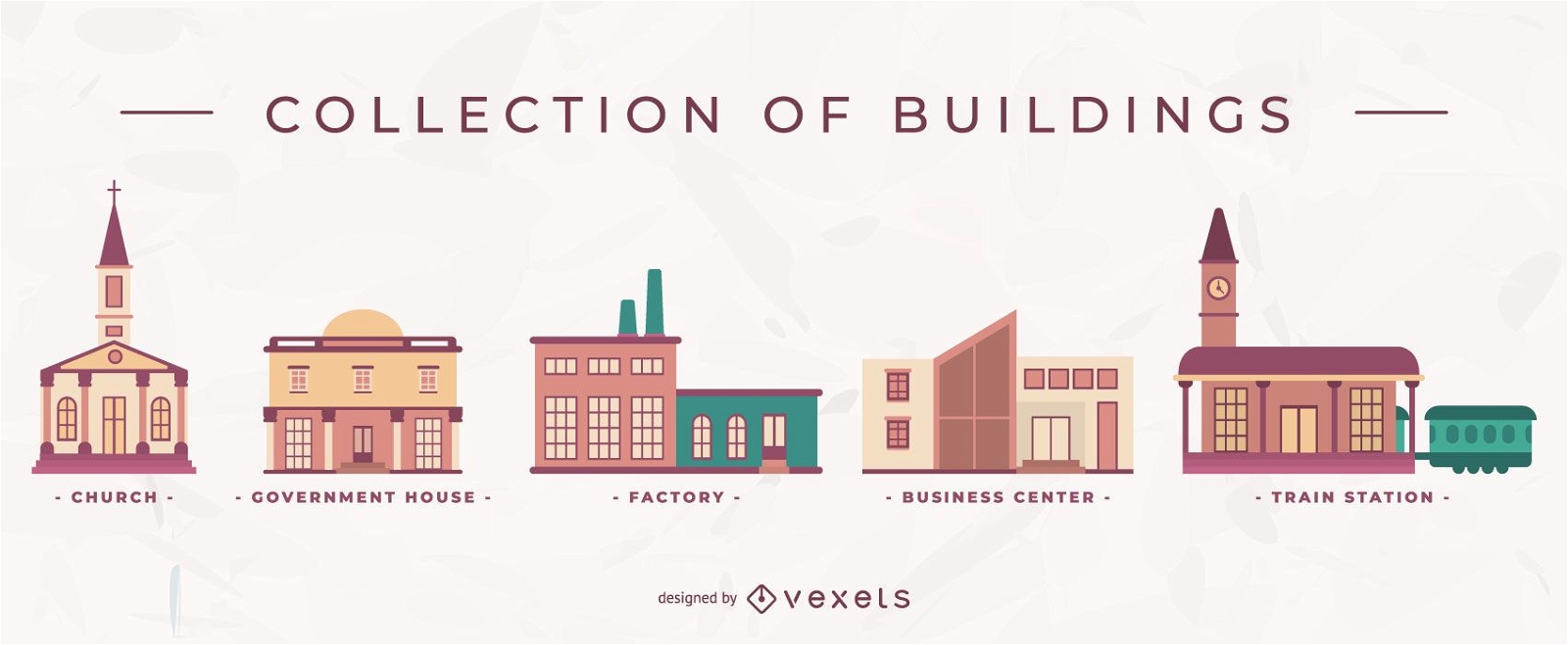
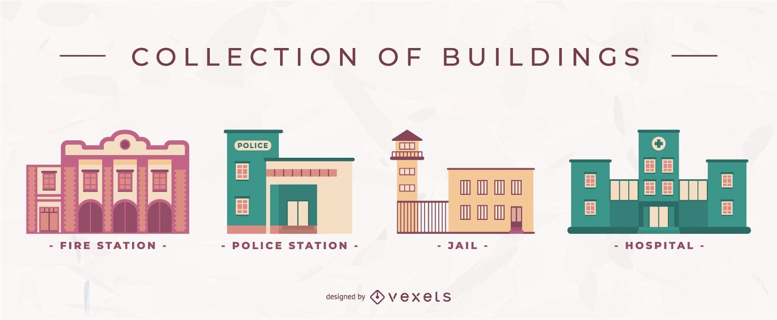
Sammlung von Gebäuden
Wählen Sie einen Ordner
Alle Favoriten
Neu erstellen
Speichern
Sammlung von Gebäuden
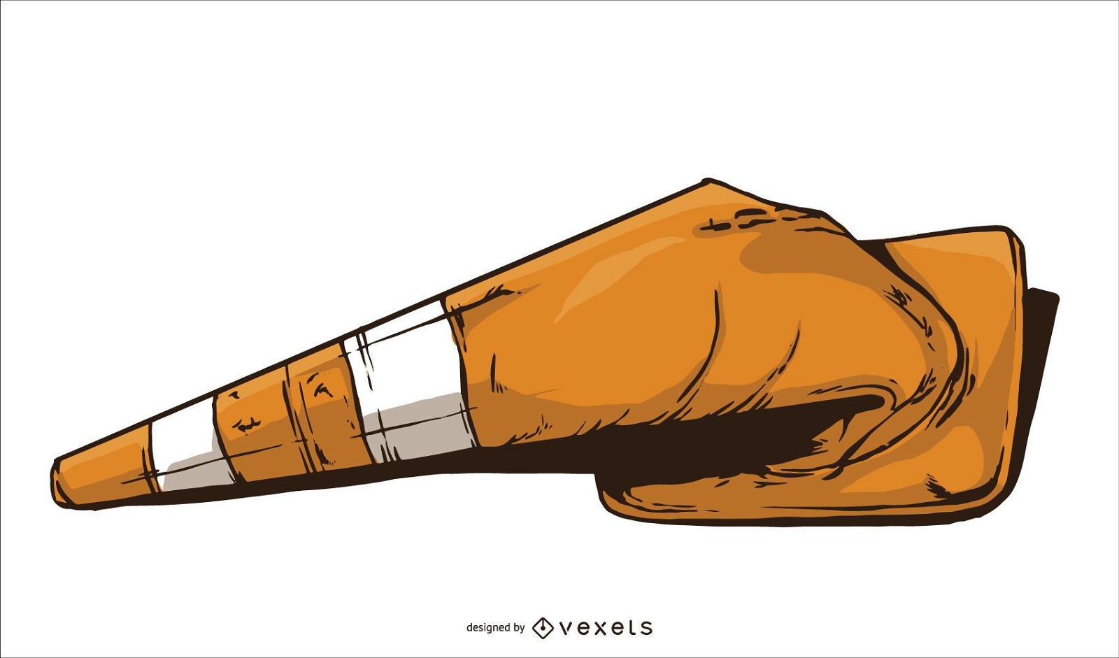
Geschmolzener Transitkegelvektor
Wählen Sie einen Ordner
Alle Favoriten
Neu erstellen
Speichern
Geschmolzener Transitkegelvektor
Premium
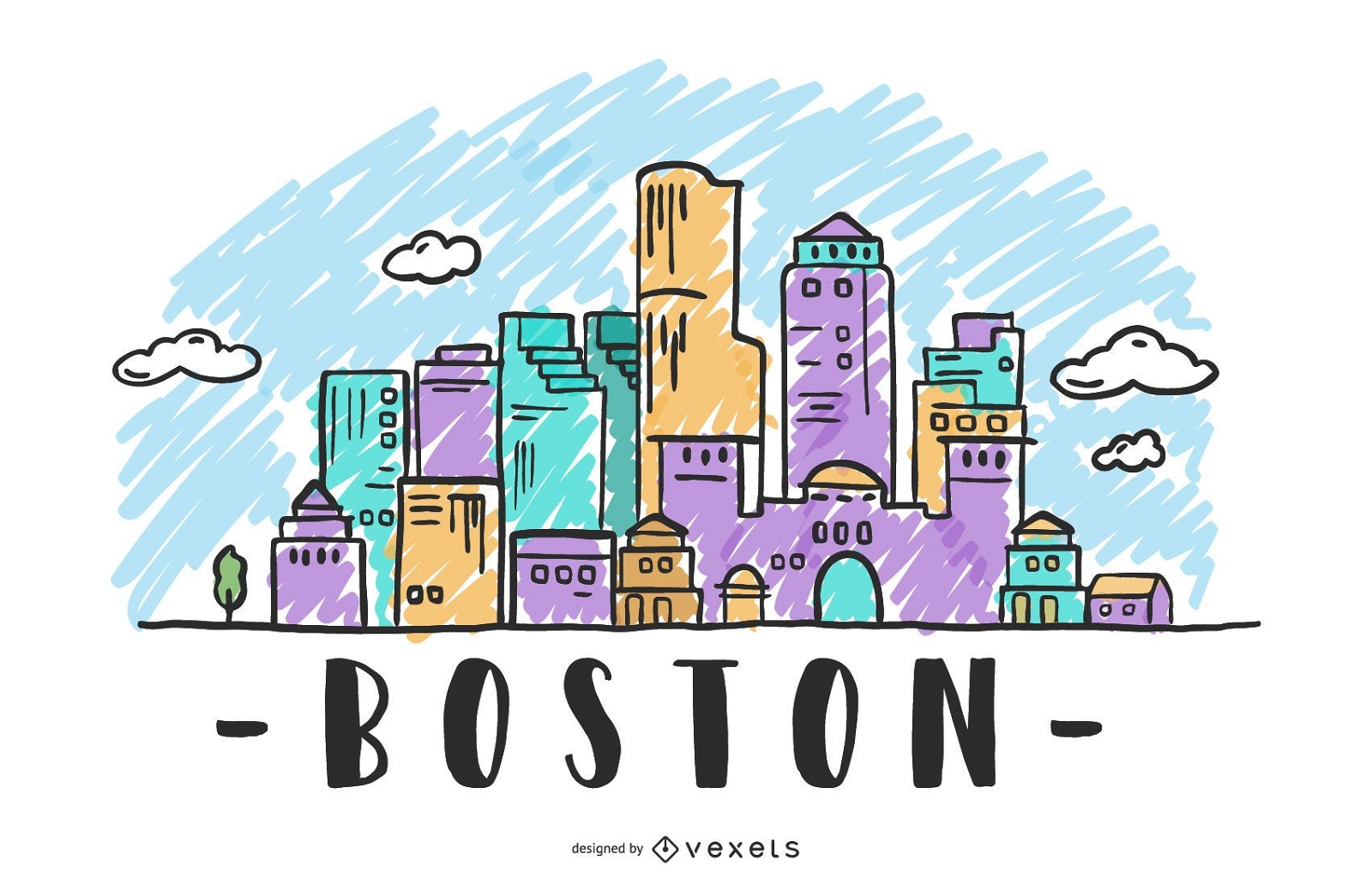
Skyline-Design in Boston USA
Wählen Sie einen Ordner
Alle Favoriten
Neu erstellen
Speichern
Skyline-Design in Boston USA
Premium
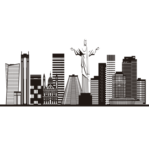
Rio de Janeiro Skyline Silhouette PNG-Design
Wählen Sie einen Ordner
Alle Favoriten
Neu erstellen
Speichern
Rio de Janeiro Skyline Silhouette PNG-Design
Premium
San Francisco Skyline Abzeichen PNG-Design
Wählen Sie einen Ordner
Alle Favoriten
Neu erstellen
Speichern
San Francisco Skyline Abzeichen PNG-Design
Premium
Skyline der niederländischen Windmühle PNG-Design
Wählen Sie einen Ordner
Alle Favoriten
Neu erstellen
Speichern
Skyline der niederländischen Windmühle PNG-Design
Feuerwehrmann zeigt brennendes Risikozeichen
Wählen Sie einen Ordner
Alle Favoriten
Neu erstellen
Speichern
Feuerwehrmann zeigt brennendes Risikozeichen
Druckfertig
Merch
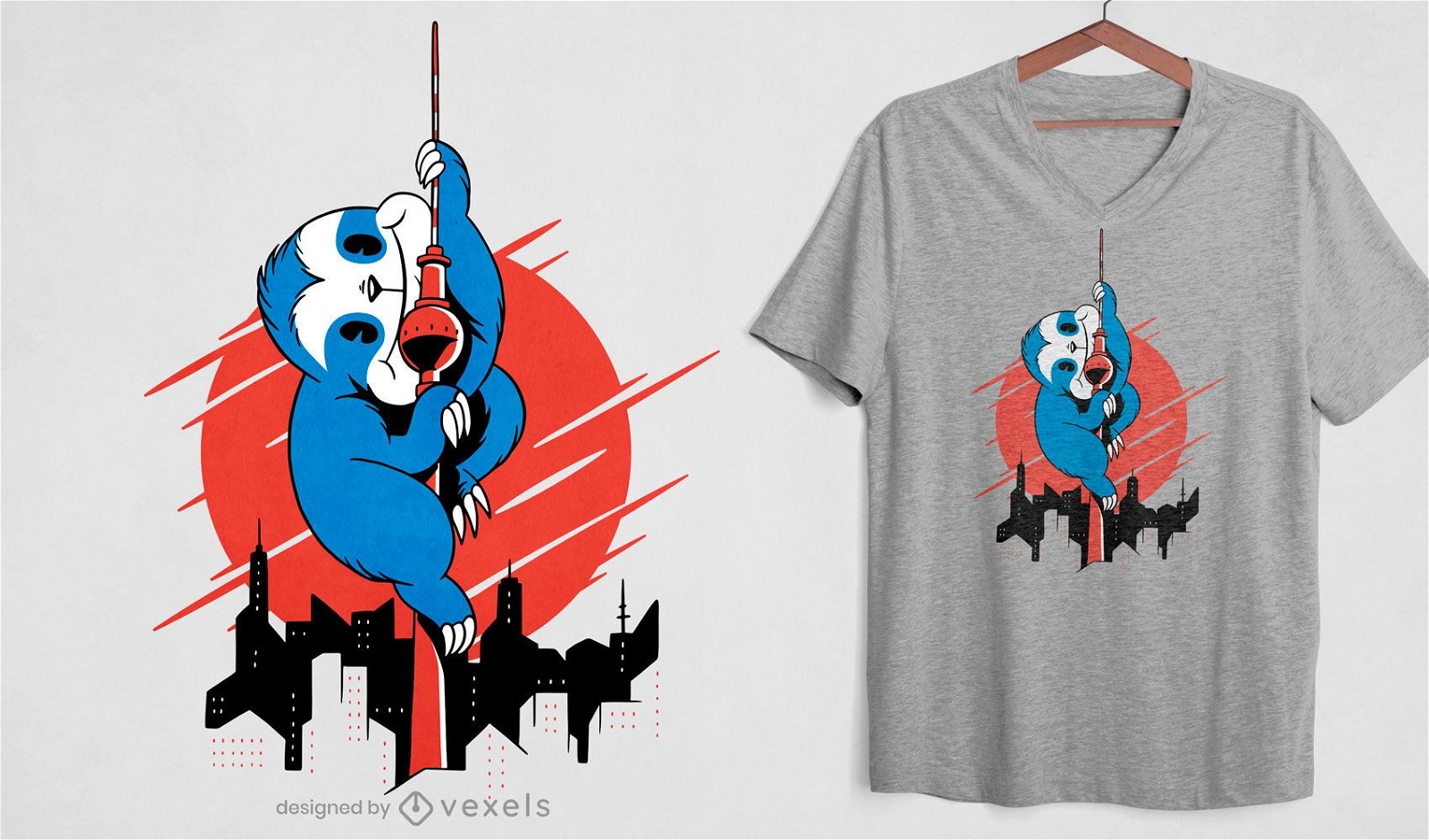
Slock Attack Wolkenkratzer T-Shirt Design
Wählen Sie einen Ordner
Alle Favoriten
Neu erstellen
Speichern
Slock Attack Wolkenkratzer T-Shirt Design
PSD-Mockup
Premium
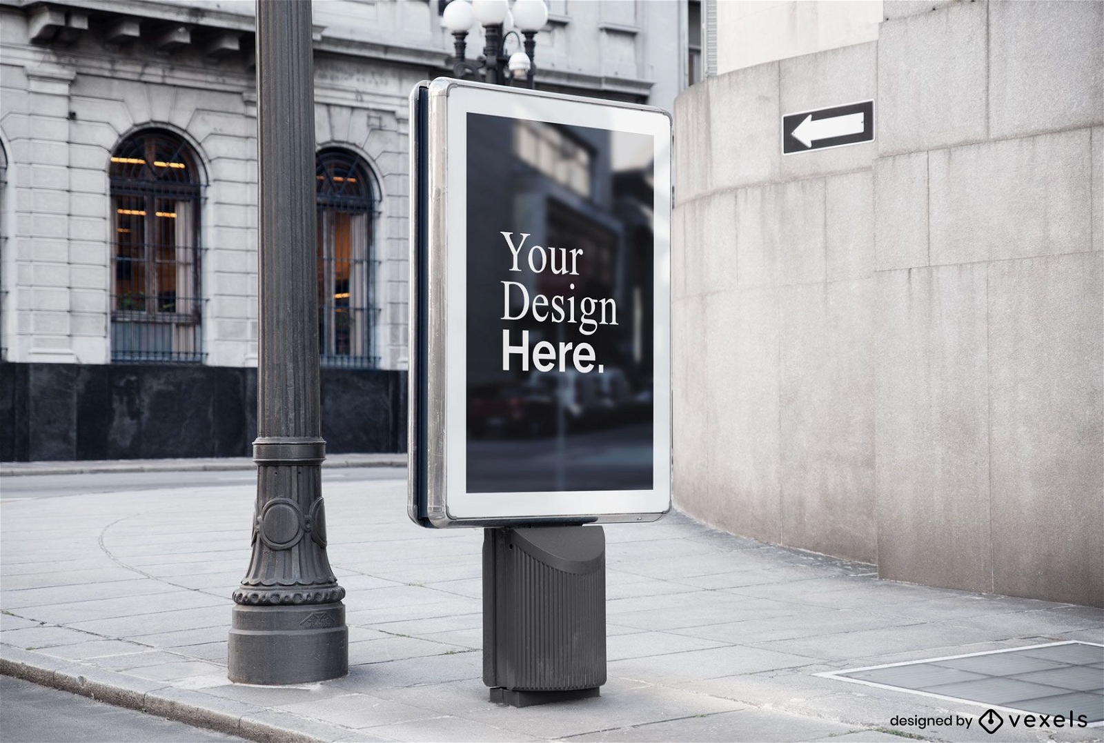
Straßenwerbetafelmodell
Wählen Sie einen Ordner
Alle Favoriten
Neu erstellen
Speichern
Straßenwerbetafelmodell
Premium
Flohmarktillustration
Wählen Sie einen Ordner
Alle Favoriten
Neu erstellen
Speichern
Flohmarktillustration
Premium
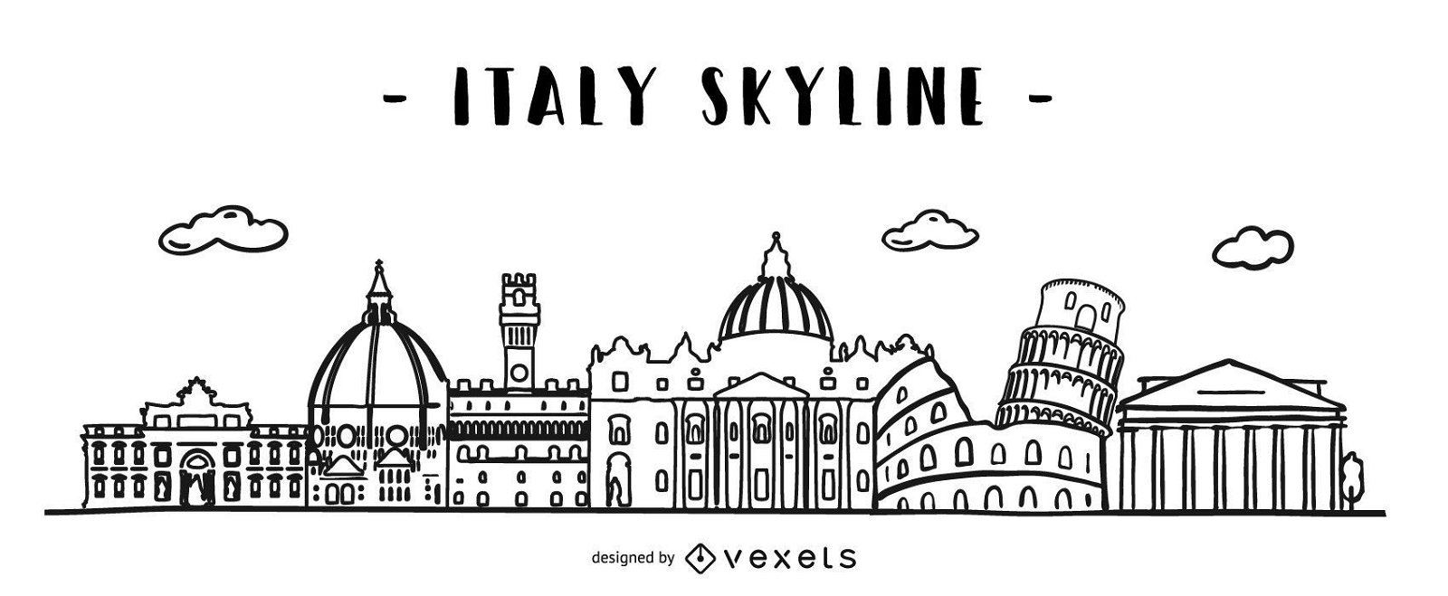
Italien Gekritzel Skyline Design
Wählen Sie einen Ordner
Alle Favoriten
Neu erstellen
Speichern
Italien Gekritzel Skyline Design
Premium
Flache Gebäudevektorsatz
Wählen Sie einen Ordner
Alle Favoriten
Neu erstellen
Speichern
Flache Gebäudevektorsatz
Druckfertig
Merch
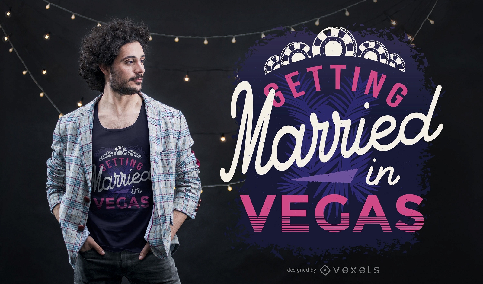
Verheiratet in Vegas T-Shirt Design
Wählen Sie einen Ordner
Alle Favoriten
Neu erstellen
Speichern
Verheiratet in Vegas T-Shirt Design
Premium
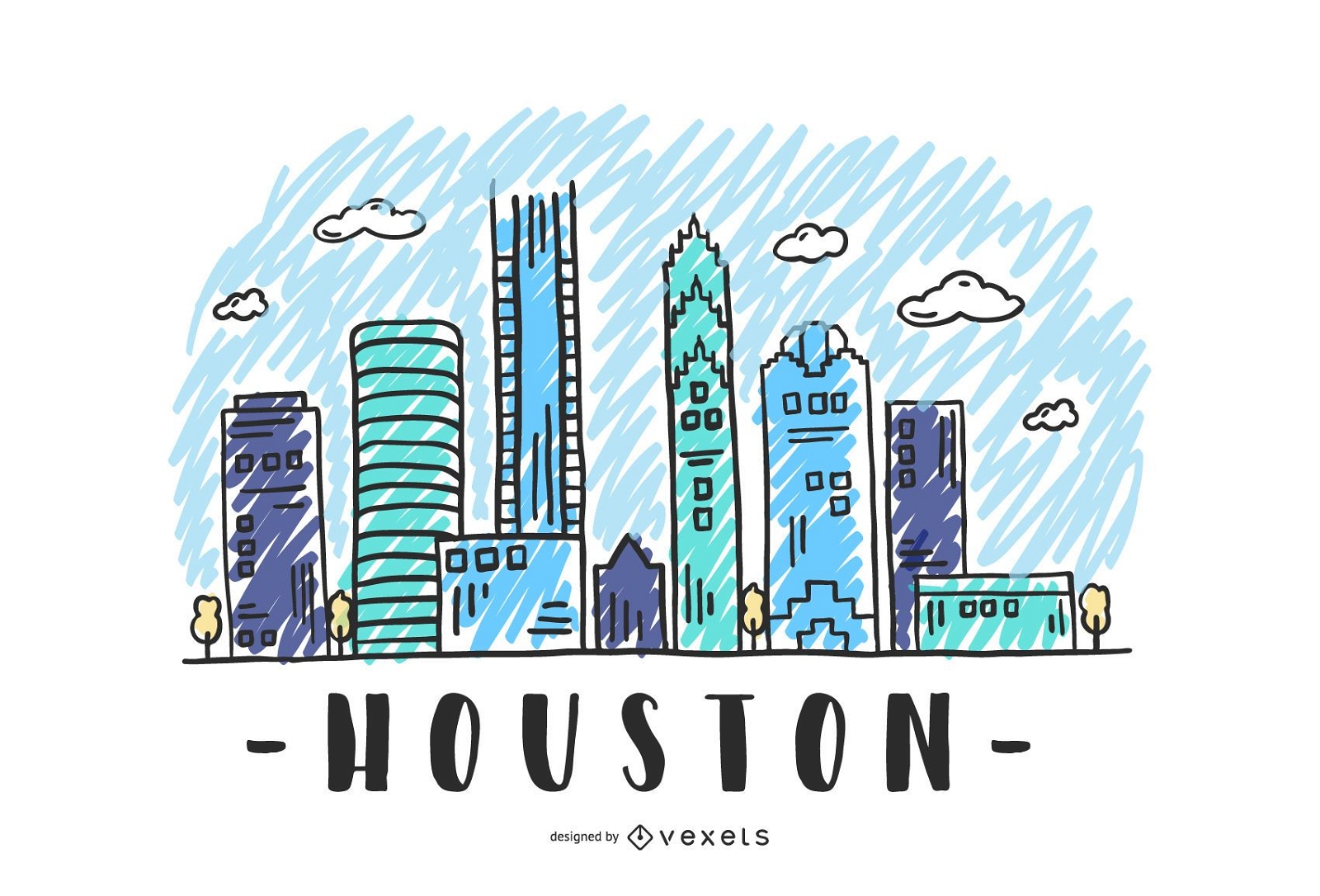
Houston USA Skyline Design
Wählen Sie einen Ordner
Alle Favoriten
Neu erstellen
Speichern
Houston USA Skyline Design
Silhouette der Skyline von Columbine
Wählen Sie einen Ordner
Alle Favoriten
Neu erstellen
Speichern
Silhouette der Skyline von Columbine
New York Weihnachts-Skyline
Wählen Sie einen Ordner
Alle Favoriten
Neu erstellen
Speichern
New York Weihnachts-Skyline
Premium
La Verteidigung Skyline Silhouette PNG-Design
Wählen Sie einen Ordner
Alle Favoriten
Neu erstellen
Speichern
La Verteidigung Skyline Silhouette PNG-Design
Executive Zeigebildschirm
Wählen Sie einen Ordner
Alle Favoriten
Neu erstellen
Speichern
Executive Zeigebildschirm
Westminster Skyline London Silhouette
Wählen Sie einen Ordner
Alle Favoriten
Neu erstellen
Speichern
Westminster Skyline London Silhouette
Druckfertig
Merch
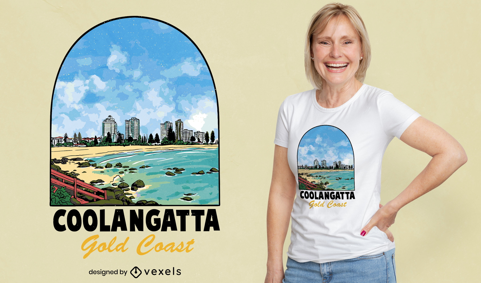
T-Shirt-Design mit Fenster über Strandküste
Wählen Sie einen Ordner
Alle Favoriten
Neu erstellen
Speichern
T-Shirt-Design mit Fenster über Strandküste
Druckfertig
Merch
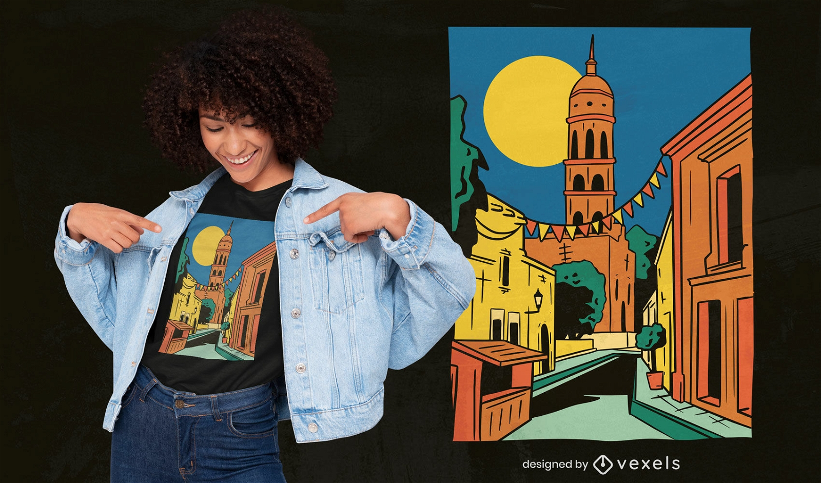
Sinaloa State Landschaft T-Shirt Design
Wählen Sie einen Ordner
Alle Favoriten
Neu erstellen
Speichern
Sinaloa State Landschaft T-Shirt Design
Druckfertig
Merch
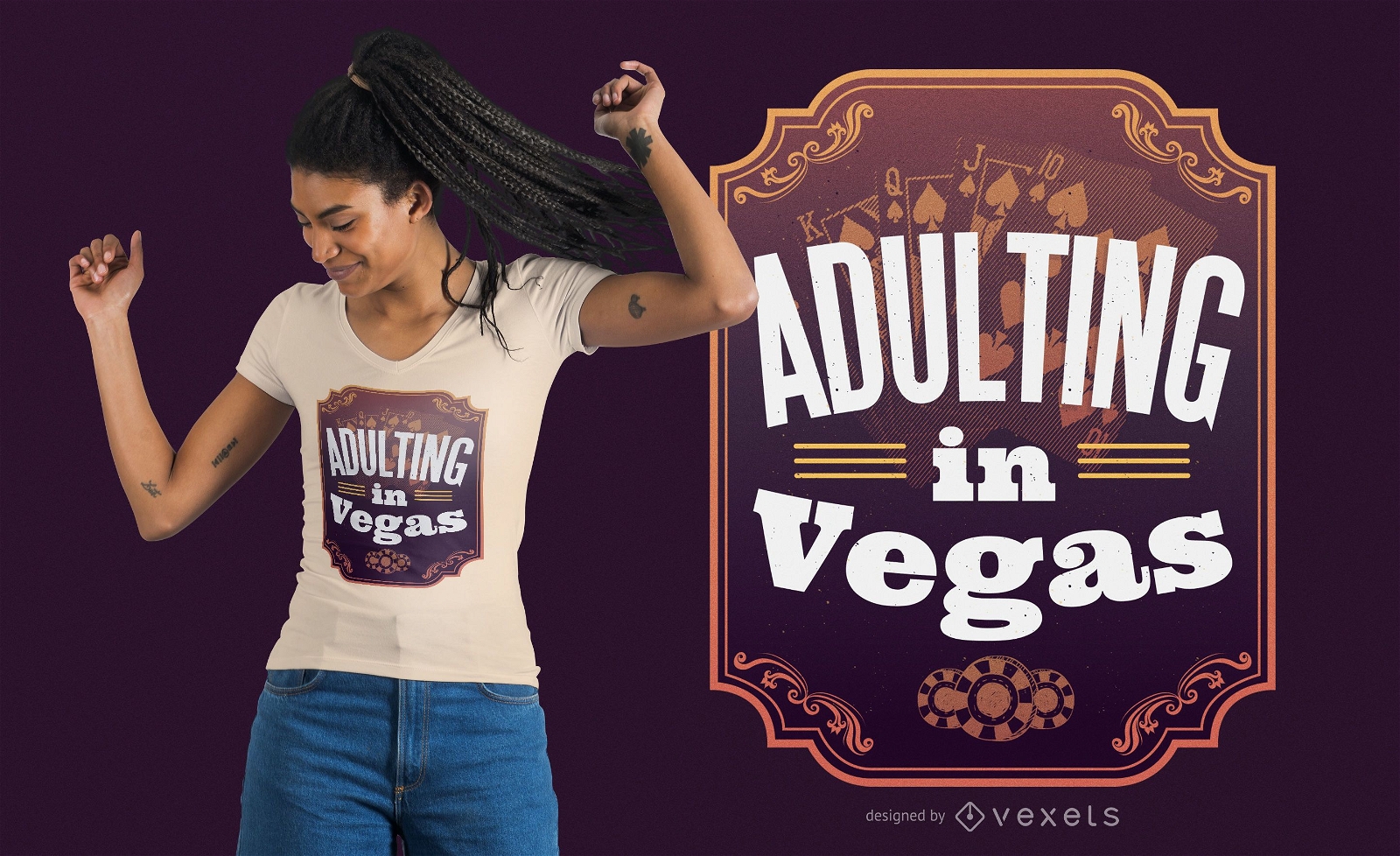
Erwachsen werden in Vegas T-Shirt Design
Wählen Sie einen Ordner
Alle Favoriten
Neu erstellen
Speichern
Erwachsen werden in Vegas T-Shirt Design
Druckfertig
Merch
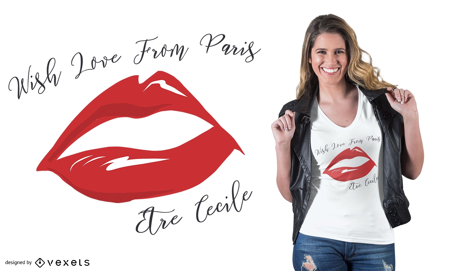
Liebe Paris Zitat T-Shirt Design
Wählen Sie einen Ordner
Alle Favoriten
Neu erstellen
Speichern
Liebe Paris Zitat T-Shirt Design
Premium
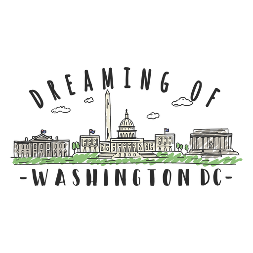
Washington-Skylineaufkleber PNG-Design
Wählen Sie einen Ordner
Alle Favoriten
Neu erstellen
Speichern
Washington-Skylineaufkleber PNG-Design
Premium
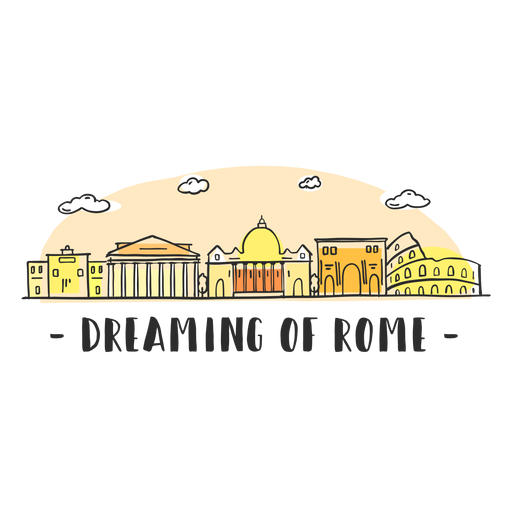
Träumender Rom-Skyline-Cartoon PNG-Design
Wählen Sie einen Ordner
Alle Favoriten
Neu erstellen
Speichern
Träumender Rom-Skyline-Cartoon PNG-Design
Premium
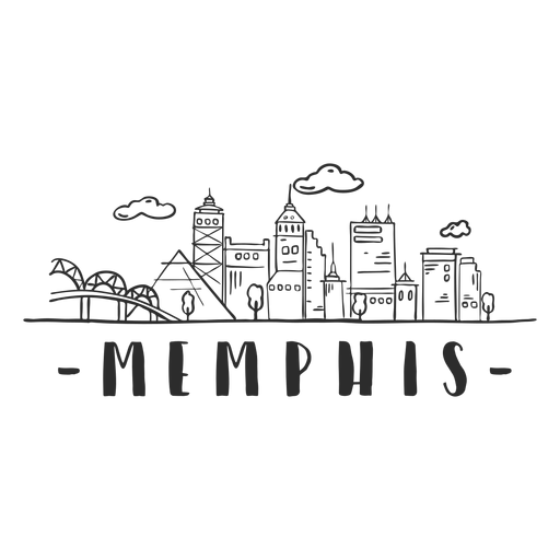
Memphis Bridge Spire Pyramide Sky Scraper Skyline Aufkleber PNG-Design
Wählen Sie einen Ordner
Alle Favoriten
Neu erstellen
Speichern
Memphis Bridge Spire Pyramide Sky Scraper Skyline Aufkleber PNG-Design
Steigere dein Geschäft
Mit der führenden Grafik Plattform für Merch.
PLÄNE SEHEN
Nächste Seite
von 45
prev page
next page